Transport Functions
Multimodal
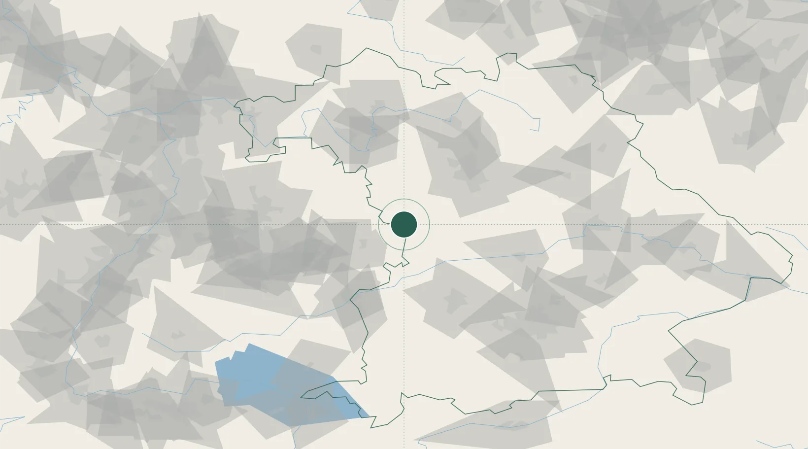
Hub Profile
Place type
Populated place
Region
Bavaria
Population
1,433
Time zone
Europe/Berlin
Elevation
442 m
Location
Nearby Logistics Neighbours
Cities
- 1Wilburgstetten5 km
- 2Fremdingen8 km
- 3Sulzach11 km
- 4Oettingen in Bayern14 km
- 5Wieseth15 km
Ports
- 1Nogaro418 km
- 2Grado429 km
- 3Porto Di Lido-Venezia429 km
- 4Monfalcone430 km
- 5Porto Di Chioggia445 km
Airports
- 1Adolf Würth Airport49 km
- 2Niederstetten Army Air Base54 km
- 3Neuburg Air Base66 km
- 4Nuremberg Airport69 km
- 5Augsburg Airport76 km
Trade Zones
- 1Freeport of Deggendorf180 km
- 2ZFU Neuhof204 km
- 3ZFU Hautepierre208 km
- 4Podbořany Industrial Zone251 km
- 5ZFU La Cité Behren-lès-Forbach257 km
DatabookThe Record of Consolidated Knowledge
Germany beyond logistics?