Transport Functions
Rail
Road
Hub Profile
Place type
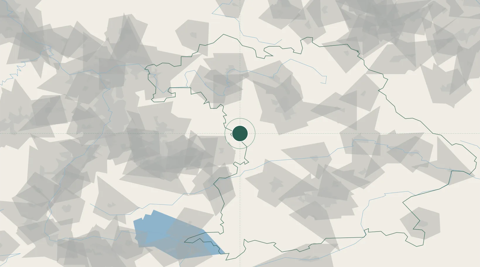
Populated place
Region
Bavaria
Time zone
Europe/Berlin
Elevation
446 m
Location
Nearby Logistics Neighbours
Cities
- 1Feuchtwangen6 km
- 2Wieseth10 km
- 3Weiltingen11 km
- 4Wilburgstetten11 km
- 5Dombühl16 km
Ports
- 1Nogaro429 km
- 2Grado440 km
- 3Porto Di Lido-Venezia440 km
- 4Monfalcone441 km
- 5Porto Di Chioggia456 km
Airports
- 1Adolf Würth Airport42 km
- 2Niederstetten Army Air Base43 km
- 3Nuremberg Airport67 km
- 4Neuburg Air Base77 km
- 5Augsburg Airport87 km
Trade Zones
- 1Freeport of Deggendorf188 km
- 2ZFU Neuhof201 km
- 3ZFU Hautepierre204 km
- 4ZFU La Cité Behren-lès-Forbach250 km
- 5Podbořany Industrial Zone251 km
DatabookThe Record of Consolidated Knowledge
Germany beyond logistics?