Transport Functions
Rail
Road
Hub Profile
Place type
Provincial seat
Region
Bavaria
Population
31,839
Time zone
Europe/Berlin
Elevation
451 m
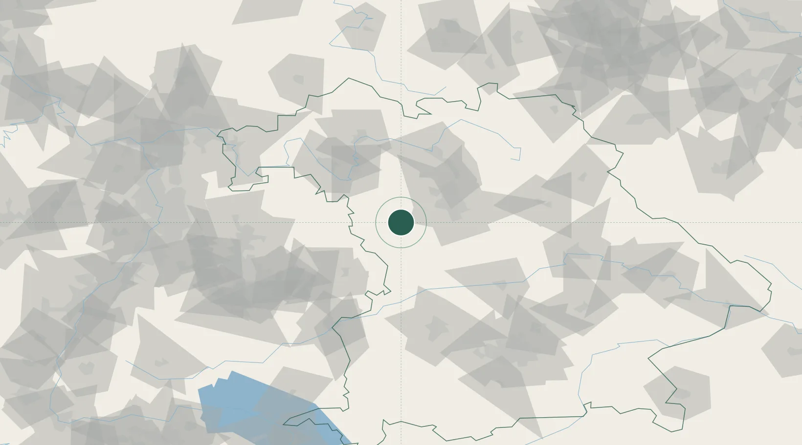
Location
Nearby Logistics Neighbours
Cities
- 1Lehrberg6 km
- 2Leutershausen (Ansbach)12 km
- 3Petersaurach12 km
- 4Heilsbronn15 km
- 5Bechhofen15 km
Ports
- 1Nogaro439 km
- 2Bremen445 km
- 3Grado450 km
- 4Monfalcone450 km
- 5Porto Di Lido-Venezia454 km
Airports
- 1Nuremberg Airport42 km
- 2Niederstetten Army Air Base47 km
- 3Adolf Würth Airport62 km
- 4Bamberg-Breitenau Airfield73 km
- 5Neuburg Air Base80 km
Trade Zones
- 1Freeport of Deggendorf176 km
- 2ZFU Neuhof223 km
- 3ZFU Hautepierre225 km
- 4Podbořany Industrial Zone227 km
- 5Žatec - Triangle Strategic Industrial Zone244 km
DatabookThe Record of Consolidated Knowledge
Germany beyond logistics?