Transport Functions
Rail
Road
Hub Profile
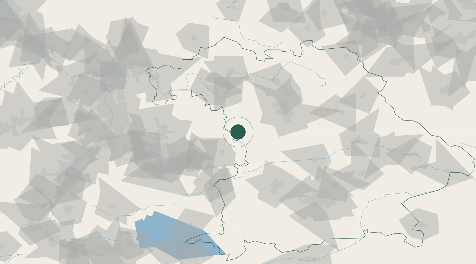
Place type
Populated place
Region
Bavaria
Population
12,267
Time zone
Europe/Berlin
Elevation
490 m
Location
Nearby Logistics Neighbours
Cities
- 1Sulzach6 km
- 2Dombühl10 km
- 3Wieseth11 km
- 4Schillingsfürst (Ansbach)14 km
- 5Leutershausen (Ansbach)16 km
Ports
- 1Nogaro435 km
- 2Grado446 km
- 3Porto Di Lido-Venezia446 km
- 4Monfalcone447 km
- 5Bremen454 km
Airports
- 1Niederstetten Army Air Base37 km
- 2Adolf Würth Airport40 km
- 3Nuremberg Airport65 km
- 4Neuburg Air Base82 km
- 5Augsburg Airport93 km
Trade Zones
- 1Freeport of Deggendorf191 km
- 2ZFU Neuhof201 km
- 3ZFU Hautepierre203 km
- 4ZFU La Cité Behren-lès-Forbach248 km
- 5Podbořany Industrial Zone250 km
DatabookThe Record of Consolidated Knowledge
Germany beyond logistics?