Transport Functions
Port
Hub Profile
Place type
Populated place
Region
Bavaria
Population
6,235
Time zone
Europe/Berlin
Elevation
389 m
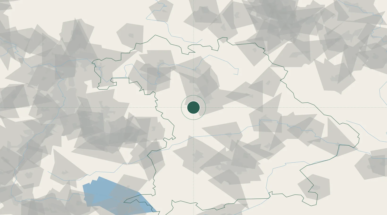
Location
Nearby Logistics Neighbours
Cities
- 1Bechhofen3 km
- 2Petersaurach7 km
- 3Heilsbronn10 km
- 4Rohr (Roth)12 km
- 5Grosshabersdorf17 km
Ports
- 1Nogaro426 km
- 2Monfalcone437 km
- 3Grado437 km
- 4Porto Di Lido-Venezia443 km
- 5Bremen455 km
Airports
- 1Nuremberg Airport34 km
- 2Niederstetten Army Air Base64 km
- 3Neuburg Air Base67 km
- 4Hohenfels Army Airfield74 km
- 5Bamberg-Breitenau Airfield75 km
Trade Zones
- 1Freeport of Deggendorf159 km
- 2Podbořany Industrial Zone215 km
- 3Žatec - Triangle Strategic Industrial Zone232 km
- 4ZFU Neuhof237 km
- 5ZFU Hautepierre240 km
DatabookThe Record of Consolidated Knowledge
Germany beyond logistics?