Transport Functions
Road
Multimodal
Hub Profile
Place type
Populated place
Region
Bavaria
Time zone
Europe/Berlin
Elevation
384 m
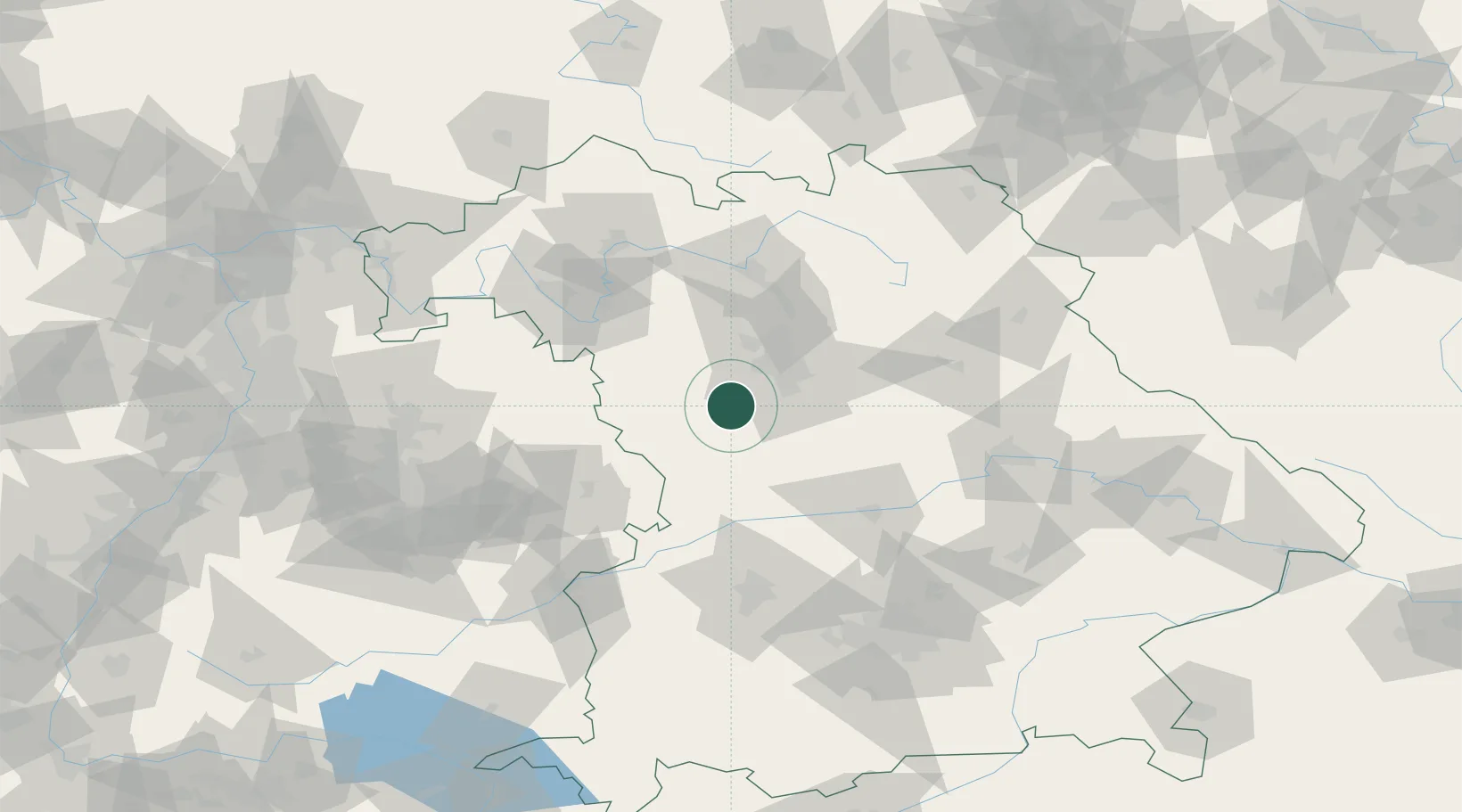
Location
Nearby Logistics Neighbours
Cities
- 1Windsbach3 km
- 2Petersaurach4 km
- 3Heilsbronn7 km
- 4Rohr (Roth)12 km
- 5Grosshabersdorf15 km
Ports
- 1Nogaro429 km
- 2Monfalcone439 km
- 3Grado440 km
- 4Porto Di Lido-Venezia446 km
- 5Bremen452 km
Airports
- 1Nuremberg Airport34 km
- 2Niederstetten Army Air Base62 km
- 3Neuburg Air Base69 km
- 4Bamberg-Breitenau Airfield73 km
- 5Adolf Würth Airport75 km
Trade Zones
- 1Freeport of Deggendorf161 km
- 2Podbořany Industrial Zone217 km
- 3Žatec - Triangle Strategic Industrial Zone233 km
- 4ZFU Neuhof235 km
- 5ZFU Hautepierre238 km
DatabookThe Record of Consolidated Knowledge
Germany beyond logistics?