Transport Functions
Rail
Road
Multimodal
Hub Profile
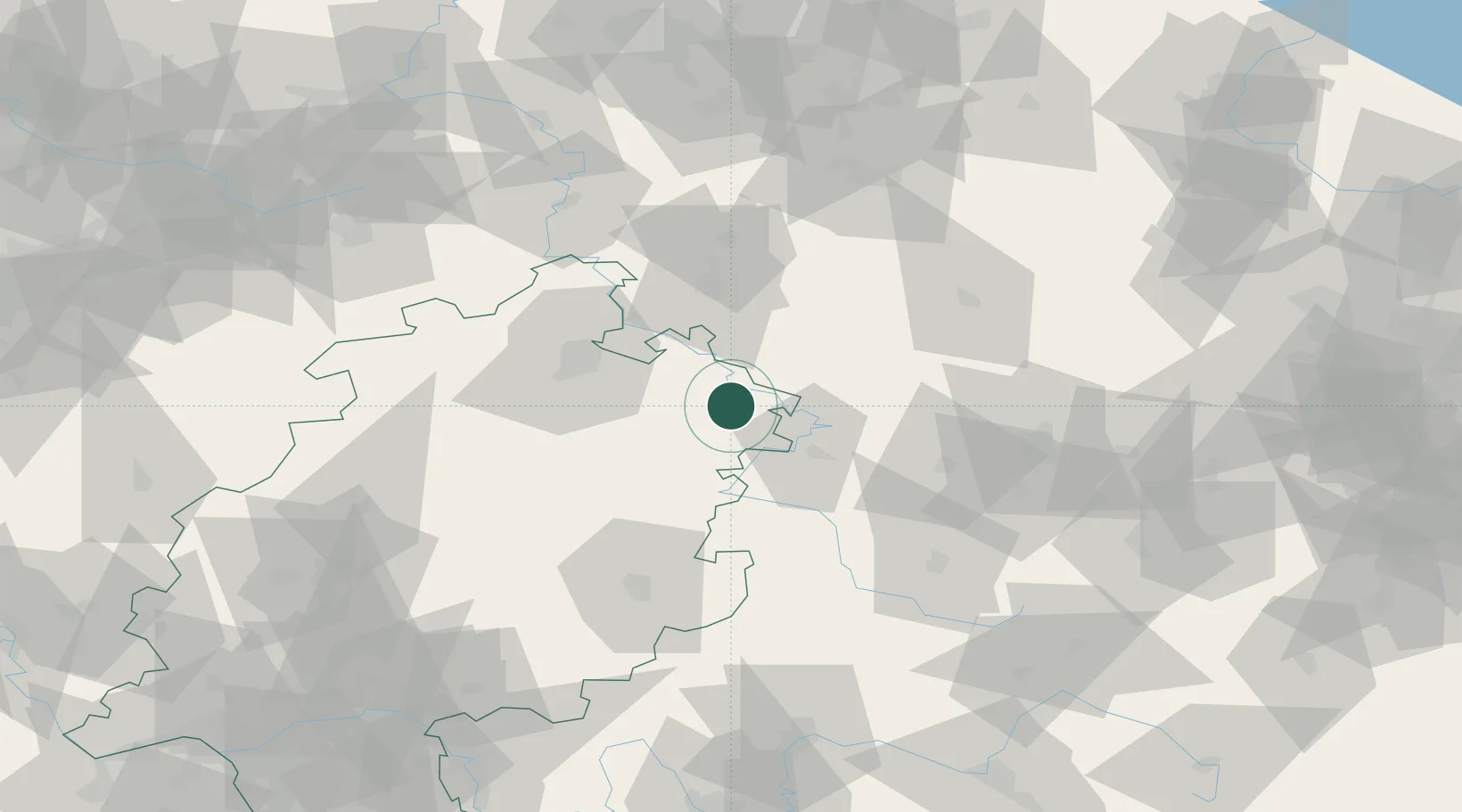
Place type
Populated place
Region
Hesse
Time zone
Europe/Berlin
Elevation
181 m
Location
Nearby Logistics Neighbours
Cities
- 1Weissenborn8 km
- 2Frieda11 km
- 3Geismar15 km
- 4Effelder19 km
- 5Rodeberg22 km
Airports
- 1Eisenach-Kindel Airport38 km
- 2Fritzlar Army Airfield50 km
- 3Kassel Airport52 km
- 4Erfurt-Weimar Airport70 km
- 5Paderborn Lippstadt Airport109 km
Trade Zones
DatabookThe Record of Consolidated Knowledge
Germany beyond logistics?