Transport Functions
Rail
Road
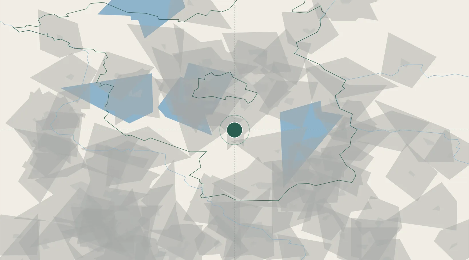
Hub Profile
Place type
Populated place
Region
Brandenburg
Population
4,505
Time zone
Europe/Berlin
Elevation
60 m
Logistics facilities
1
Location
Nearby Logistics Neighbours
Ports
- 1Szczecin165 km
- 2Police180 km
- 3Swinoujscie211 km
- 4Wolgast220 km
- 5Rostock244 km
Airports
- 1Berlin Brandenburg Airport32 km
- 2Holzdorf Air Base42 km
- 3Zerbst Airfield94 km
- 4Dresden Airport106 km
- 5Leipzig/Halle Airport115 km
Trade Zones
DatabookThe Record of Consolidated Knowledge
Germany beyond logistics?