Transport Functions
Road
Multimodal
Hub Profile
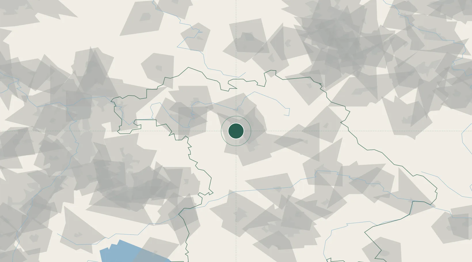
Place type
Populated place
Region
Bavaria
Population
6,118
Time zone
Europe/Berlin
Elevation
308 m
Location
Nearby Logistics Neighbours
Cities
- 1Grossenseebach4 km
- 2Kosbach7 km
- 3Veitsbronn10 km
- 4Dachsbach10 km
- 5Lonnerstadt10 km
Airports
- 1Nuremberg Airport22 km
- 2Bamberg-Breitenau Airfield34 km
- 3Niederstetten Army Air Base68 km
- 4Bayreuth Airport71 km
- 5Grafenwöhr Army Air Field80 km
Trade Zones
- 1Freeport of Deggendorf173 km
- 2Podbořany Industrial Zone196 km
- 3Žatec - Triangle Strategic Industrial Zone211 km
- 4Most - Joseph Industrial Zone223 km
- 5ZFU Neuhof254 km
DatabookThe Record of Consolidated Knowledge
Germany beyond logistics?