Transport Functions
Port
Multimodal
Hub Profile
Place type
Populated place
Region
Bavaria
Time zone
Europe/Berlin
Elevation
301 m
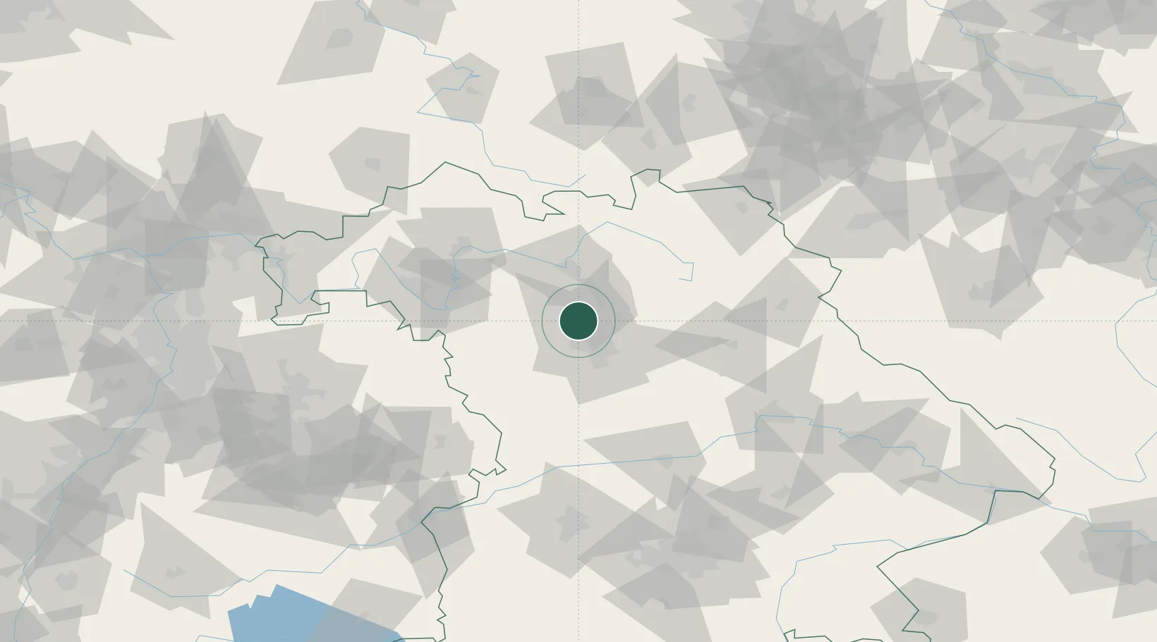
Location
Nearby Logistics Neighbours
Cities
- 1Frauenaurach4 km
- 2Grossenseebach5 km
- 3Kriegenbrunn6 km
- 4Bubenreuth7 km
- 5Weisendorf7 km
Airports
- 1Nuremberg Airport15 km
- 2Bamberg-Breitenau Airfield36 km
- 3Bayreuth Airport66 km
- 4Grafenwöhr Army Air Field73 km
- 5Niederstetten Army Air Base74 km
Trade Zones
- 1Freeport of Deggendorf166 km
- 2Podbořany Industrial Zone190 km
- 3Žatec - Triangle Strategic Industrial Zone205 km
- 4Most - Joseph Industrial Zone217 km
- 5ZFU Neuhof259 km
DatabookThe Record of Consolidated Knowledge
Germany beyond logistics?