Transport Functions
Multimodal
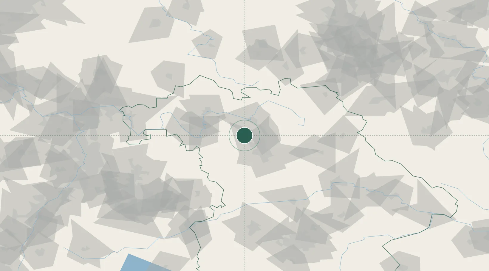
Hub Profile
Place type
Populated place
Region
Bavaria
Population
1,919
Time zone
Europe/Berlin
Elevation
282 m
Location
Nearby Logistics Neighbours
Cities
- 1Wachenroth7 km
- 2Dachsbach7 km
- 3Pommersfelden8 km
- 4Weisendorf10 km
- 5Schlüsselfeld11 km
Airports
- 1Bamberg-Breitenau Airfield27 km
- 2Nuremberg Airport32 km
- 3Niederstetten Army Air Base68 km
- 4Bayreuth Airport70 km
- 5Grafenwöhr Army Air Field84 km
Trade Zones
- 1Freeport of Deggendorf182 km
- 2Podbořany Industrial Zone198 km
- 3Žatec - Triangle Strategic Industrial Zone212 km
- 4Most - Joseph Industrial Zone223 km
- 5ZFU Neuhof254 km
DatabookThe Record of Consolidated Knowledge
Germany beyond logistics?