Transport Functions
Multimodal
Hub Profile
Place type
Local administrative seat
Region
Bavaria
Population
6,194
Time zone
Europe/Berlin
Elevation
310 m
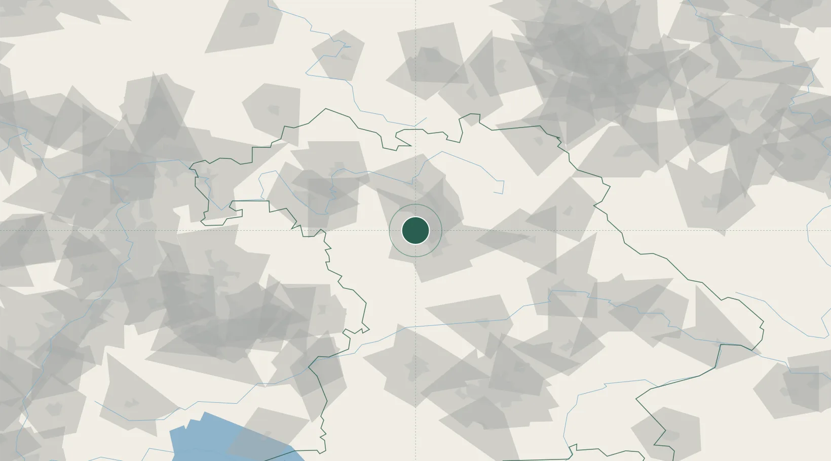
Location
Nearby Logistics Neighbours
Cities
- 1Kriegenbrunn5 km
- 2Frauenaurach7 km
- 3Kosbach8 km
- 4Fürth10 km
- 5Weisendorf10 km
Airports
- 1Nuremberg Airport15 km
- 2Bamberg-Breitenau Airfield43 km
- 3Niederstetten Army Air Base69 km
- 4Bayreuth Airport74 km
- 5Hohenfels Army Airfield78 km
Trade Zones
- 1Freeport of Deggendorf165 km
- 2Podbořany Industrial Zone196 km
- 3Žatec - Triangle Strategic Industrial Zone212 km
- 4Most - Joseph Industrial Zone224 km
- 5ZFU Neuhof253 km
DatabookThe Record of Consolidated Knowledge
Germany beyond logistics?