Transport Functions
Multimodal
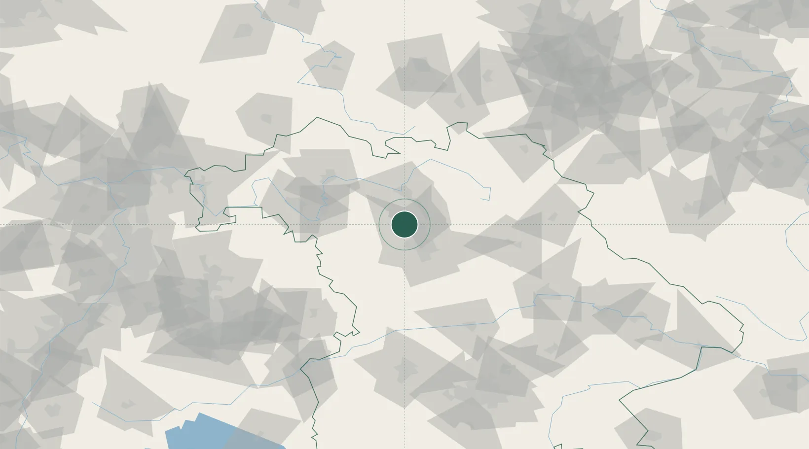
Hub Profile
Place type
Local administrative seat
Region
Bavaria
Population
2,378
Time zone
Europe/Berlin
Elevation
294 m
Location
Nearby Logistics Neighbours
Cities
- 1Weisendorf4 km
- 2Kosbach5 km
- 3Zeckern8 km
- 4Frauenaurach10 km
- 5Bubenreuth10 km
Airports
- 1Nuremberg Airport21 km
- 2Bamberg-Breitenau Airfield32 km
- 3Bayreuth Airport67 km
- 4Niederstetten Army Air Base72 km
- 5Grafenwöhr Army Air Field76 km
Trade Zones
- 1Freeport of Deggendorf171 km
- 2Podbořany Industrial Zone192 km
- 3Žatec - Triangle Strategic Industrial Zone207 km
- 4Most - Joseph Industrial Zone219 km
- 5ZFU Neuhof258 km
DatabookThe Record of Consolidated Knowledge
Germany beyond logistics?