Transport Functions
Rail
Road
Hub Profile
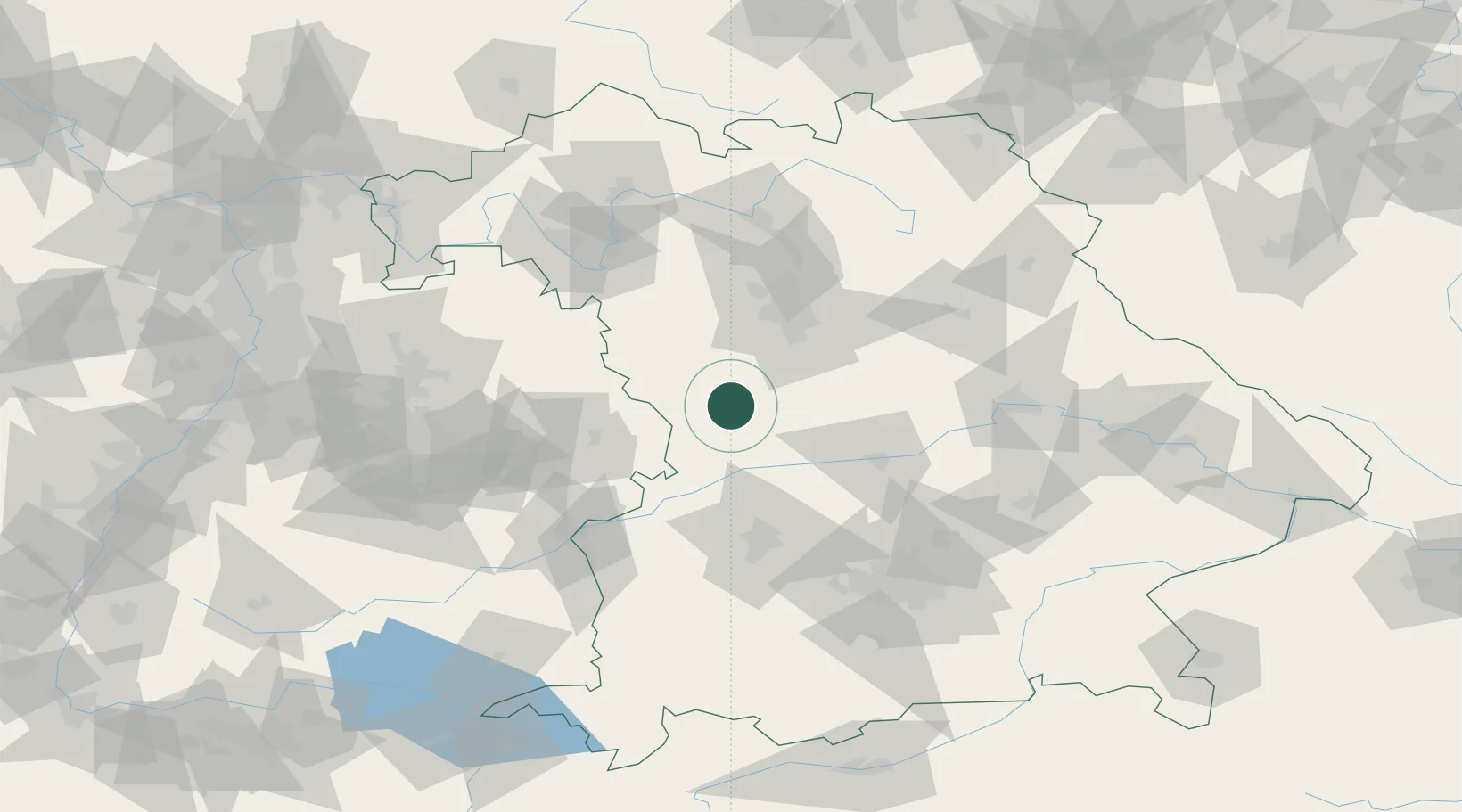
Place type
Populated place
Region
Bavaria
Population
2,589
Time zone
Europe/Berlin
Elevation
538 m
Location
Nearby Logistics Neighbours
Cities
- 1Gnotzheim6 km
- 2Lengenfeld9 km
- 3Bubenheim10 km
- 4Bischberg-Trosdorf13 km
- 5Oettingen in Bayern13 km
Ports
- 1Nogaro405 km
- 2Grado416 km
- 3Monfalcone417 km
- 4Porto Di Lido-Venezia420 km
- 5Porto Di Chioggia437 km
Airports
- 1Neuburg Air Base48 km
- 2Nuremberg Airport59 km
- 3Ingolstadt Manching Airport66 km
- 4Augsburg Airport67 km
- 5Niederstetten Army Air Base71 km
Trade Zones
- 1Freeport of Deggendorf158 km
- 2ZFU Neuhof225 km
- 3ZFU Hautepierre229 km
- 4Podbořany Industrial Zone234 km
- 5Žatec - Triangle Strategic Industrial Zone252 km
DatabookThe Record of Consolidated Knowledge
Germany beyond logistics?