Transport Functions
Multimodal
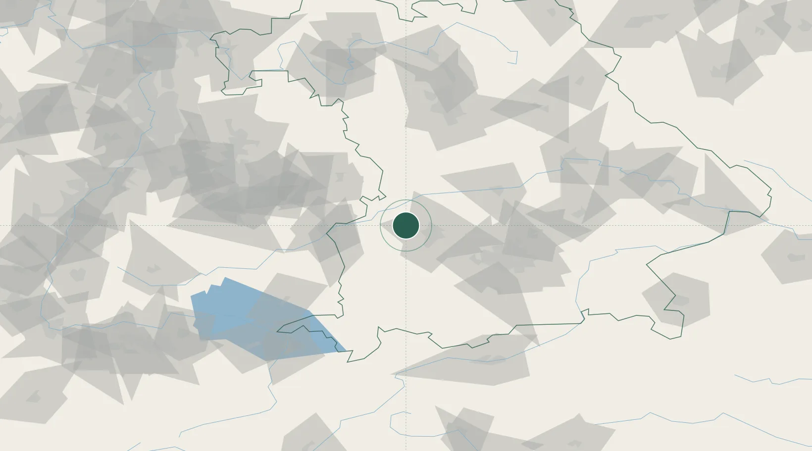
Hub Profile
Place type
Populated place
Region
Bavaria
Population
3,614
Time zone
Europe/Berlin
Elevation
465 m
Location
Nearby Logistics Neighbours
Cities
- 1Adelsried5 km
- 2Heretsried5 km
- 3Emersacker6 km
- 4Horgau6 km
- 5Dinkelscherben13 km
Ports
- 1Nogaro354 km
- 2Porto Di Lido-Venezia363 km
- 3Grado365 km
- 4Monfalcone368 km
- 5Porto Di Chioggia379 km
Airports
- 1Augsburg Airport20 km
- 2Lechfeld Air Base33 km
- 3Altstetten Ultralight Field49 km
- 4Neuburg Air Base50 km
- 5Memmingen Allgau Airport60 km
Trade Zones
- 1Freeport of Deggendorf170 km
- 2ZFU Neuhof214 km
- 3Livigno Free Trade Zone218 km
- 4ZFU Hautepierre220 km
- 5ZFU Mulhouse259 km
DatabookThe Record of Consolidated Knowledge
Germany beyond logistics?