Transport Functions
Multimodal
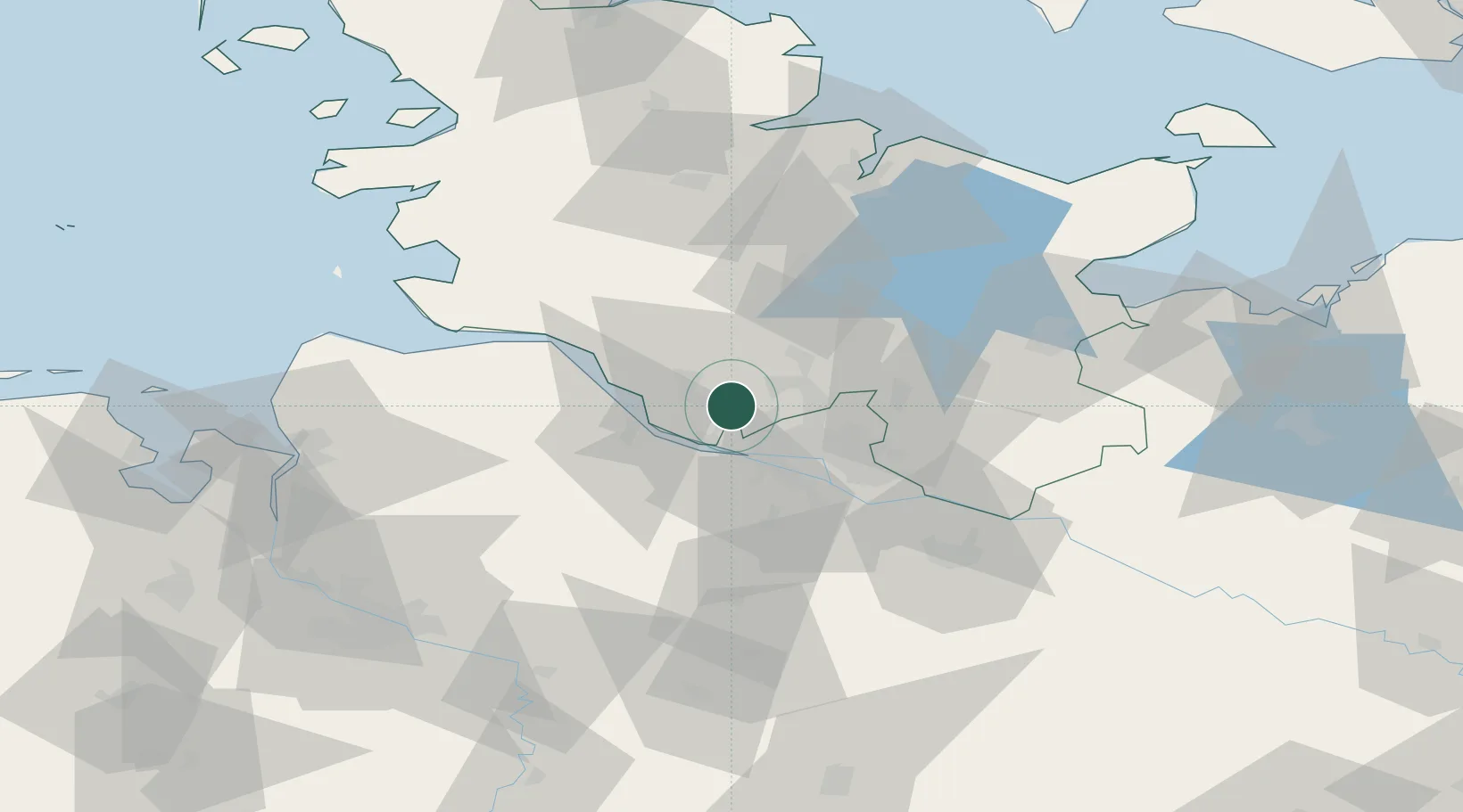
Hub Profile
Place type
Local administrative seat
Region
Schleswig-Holstein
Population
2,012
Time zone
Europe/Berlin
Elevation
12 m
Location
Nearby Logistics Neighbours
Cities
- 1Prisdorf2 km
- 2Tornesch5 km
- 3Schnelsen10 km
- 4Holm (Pinneberg)11 km
- 5Hetlingen12 km
Ports
- 1Hamburg18 km
- 2Butzfleth18 km
- 3Gluckstadt27 km
- 4Itzehoe31 km
- 5Brunsbuttel Elbahafen46 km
Airports
Trade Zones
DatabookThe Record of Consolidated Knowledge
Germany beyond logistics?