Transport Functions
Rail
Road
Hub Profile
Place type
Local administrative seat
Region
Bavaria
Population
2,183
Time zone
Europe/Berlin
Elevation
444 m
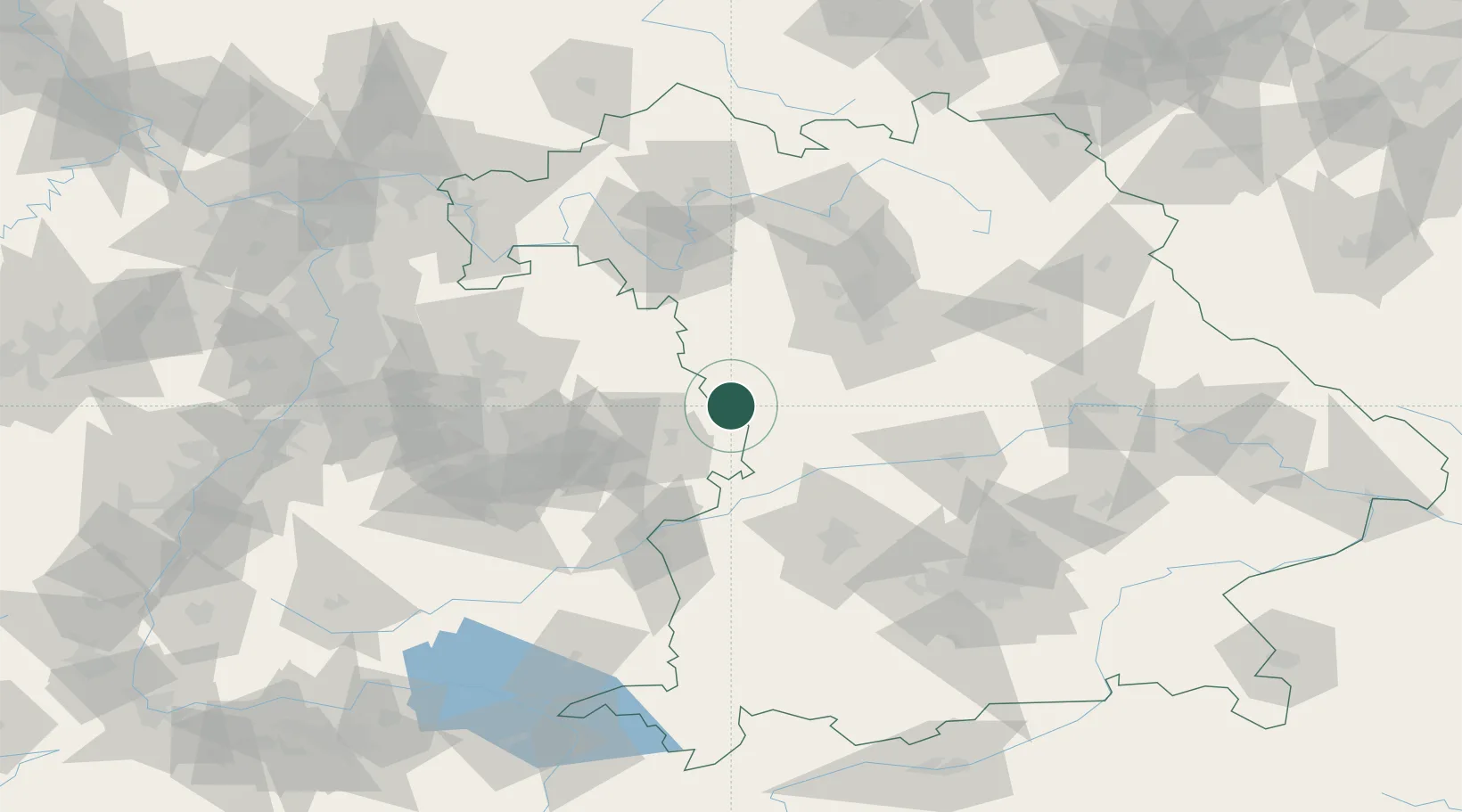
Location
Nearby Logistics Neighbours
Cities
- 1Weiltingen5 km
- 2Fremdingen8 km
- 3Sulzach11 km
- 4Feuchtwangen17 km
- 5Oettingen in Bayern18 km
Ports
- 1Nogaro418 km
- 2Porto Di Lido-Venezia429 km
- 3Grado429 km
- 4Monfalcone431 km
- 5Porto Di Chioggia445 km
Airports
- 1Adolf Würth Airport45 km
- 2Niederstetten Army Air Base52 km
- 3Neuburg Air Base70 km
- 4Nuremberg Airport74 km
- 5Augsburg Airport77 km
Trade Zones
- 1Freeport of Deggendorf185 km
- 2ZFU Neuhof199 km
- 3ZFU Hautepierre203 km
- 4ZFU La Cité Behren-lès-Forbach252 km
- 5Podbořany Industrial Zone256 km
DatabookThe Record of Consolidated Knowledge
Germany beyond logistics?