Transport Functions
Road
Multimodal
Hub Profile
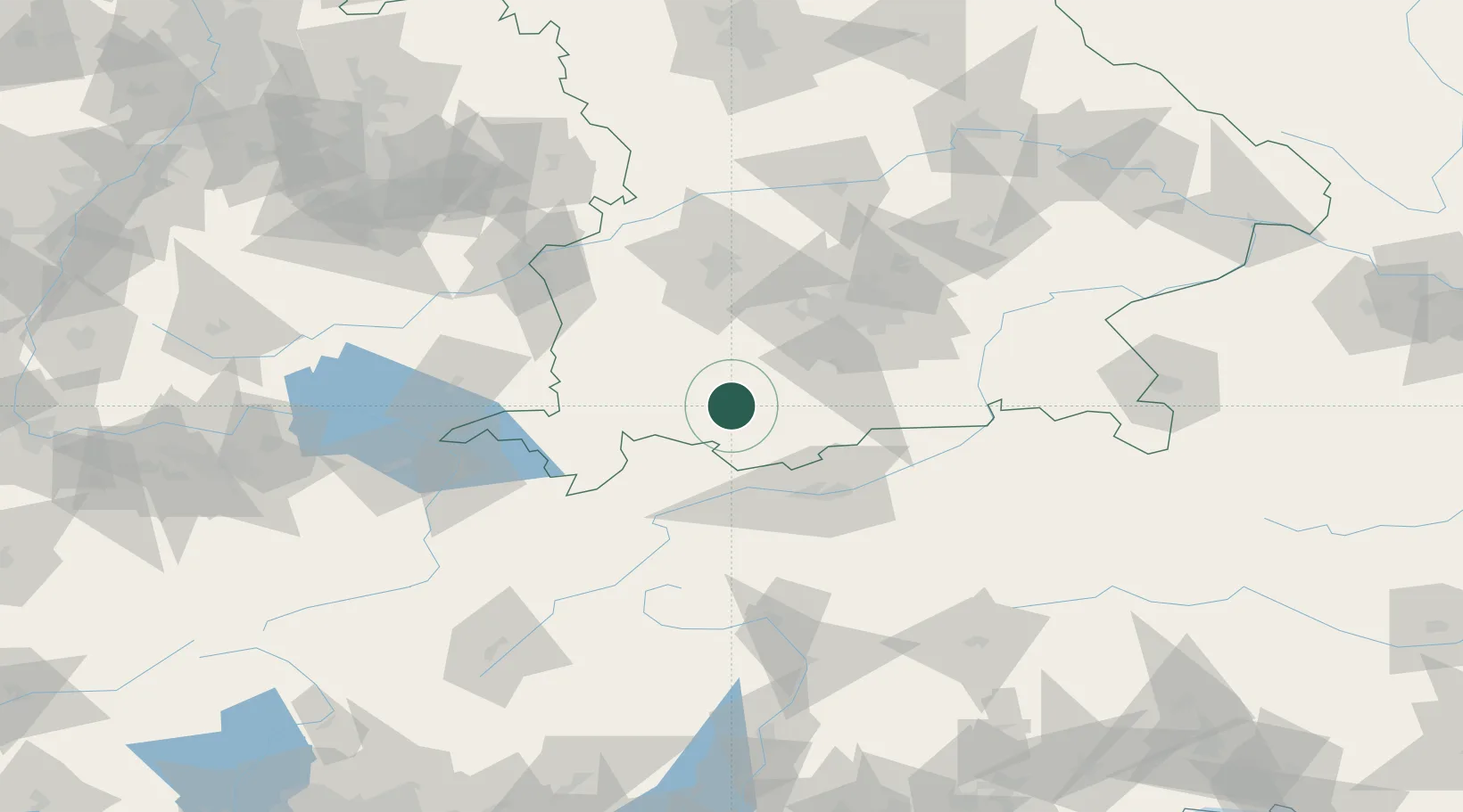
Place type
Local administrative seat
Region
Bavaria
Population
1,245
Time zone
Europe/Berlin
Elevation
866 m
Location
Nearby Logistics Neighbours
Cities
- 1Peissenberg14 km
- 2Altenstadt14 km
- 3Hohenfurch17 km
- 4Huglfing18 km
- 5Rosshaupten18 km
Ports
- 1Nogaro274 km
- 2Porto Di Lido-Venezia278 km
- 3Grado286 km
- 4Monfalcone291 km
- 5Porto Di Chioggia293 km
Airports
- 1Oberpfaffenhofen Airport49 km
- 2Lechfeld Air Base54 km
- 3Innsbruck Airport57 km
- 4Memmingen Allgau Airport62 km
- 5Altstetten Ultralight Field72 km
Trade Zones
- 1Livigno Free Trade Zone145 km
- 2Freeport of Deggendorf193 km
- 3ZFU Neuhof254 km
- 4Magazzini Generali Con Chiasso257 km
- 5ZFU Hautepierre261 km
DatabookThe Record of Consolidated Knowledge
Germany beyond logistics?