Transport Functions
Rail
Road
Hub Profile
Place type
Local administrative seat
Region
Bavaria
Population
2,476
Time zone
Europe/Berlin
Elevation
632 m
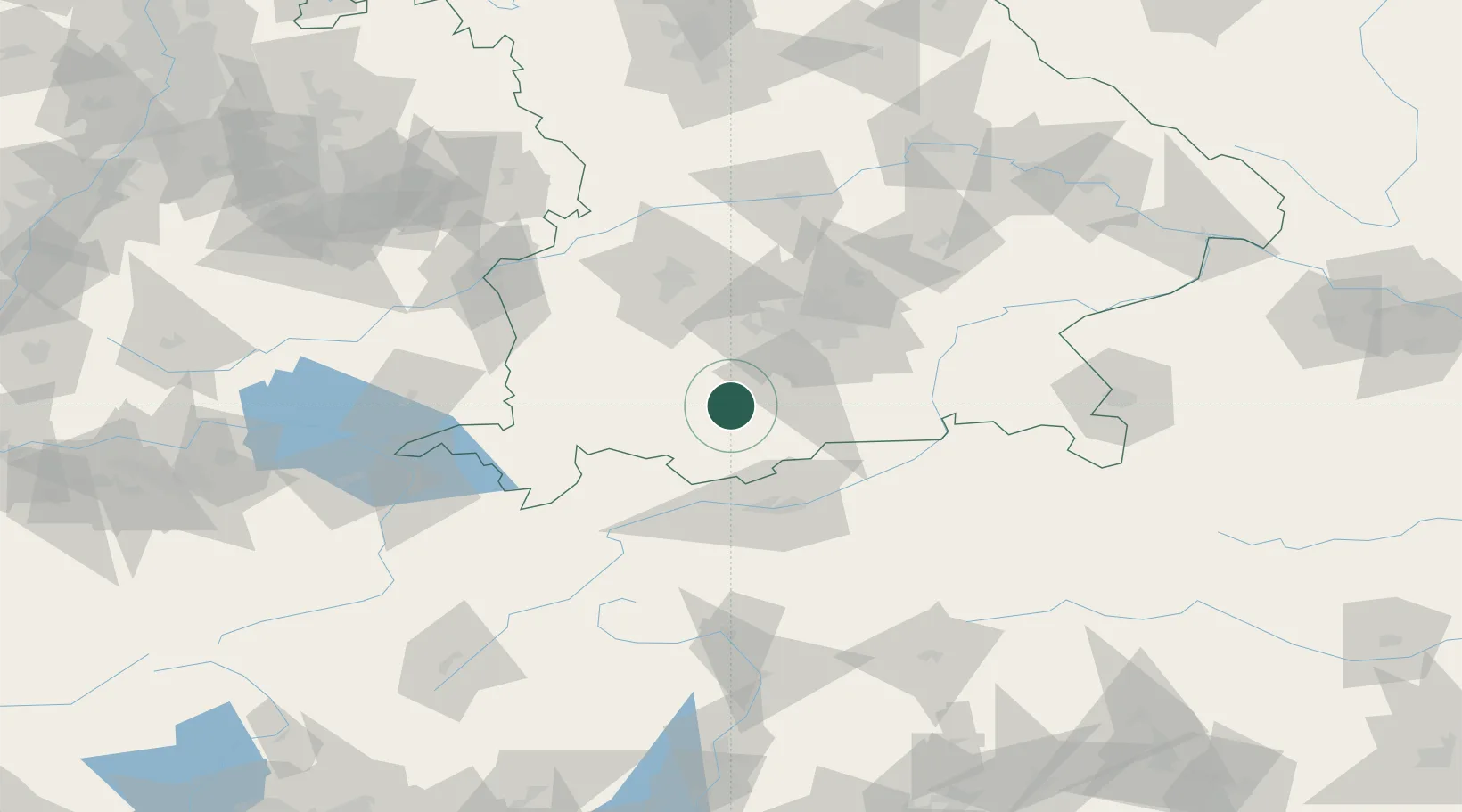
Location
Nearby Logistics Neighbours
Cities
- 1Obersöchering5 km
- 2Polling, Weilheim-Schongau6 km
- 3Weilheim in Oberbayern8 km
- 4Peissenberg8 km
- 5Wielenbach11 km
Ports
- 1Nogaro270 km
- 2Porto Di Lido-Venezia279 km
- 3Grado282 km
- 4Monfalcone286 km
- 5Porto Di Chioggia295 km
Airports
- 1Oberpfaffenhofen Airport36 km
- 2Lechfeld Air Base52 km
- 3Innsbruck Airport58 km
- 4Altstetten Ultralight Field61 km
- 5Memmingen Allgau Airport74 km
Trade Zones
- 1Livigno Free Trade Zone159 km
- 2Freeport of Deggendorf176 km
- 3ZFU Neuhof267 km
- 4Consorzio Zona Industriale e Porto Fluviale di Padova271 km
- 5Magazzini Generali Con Chiasso272 km
DatabookThe Record of Consolidated Knowledge
Germany beyond logistics?