Large airport · Austria

Innsbruck AirportLOWI
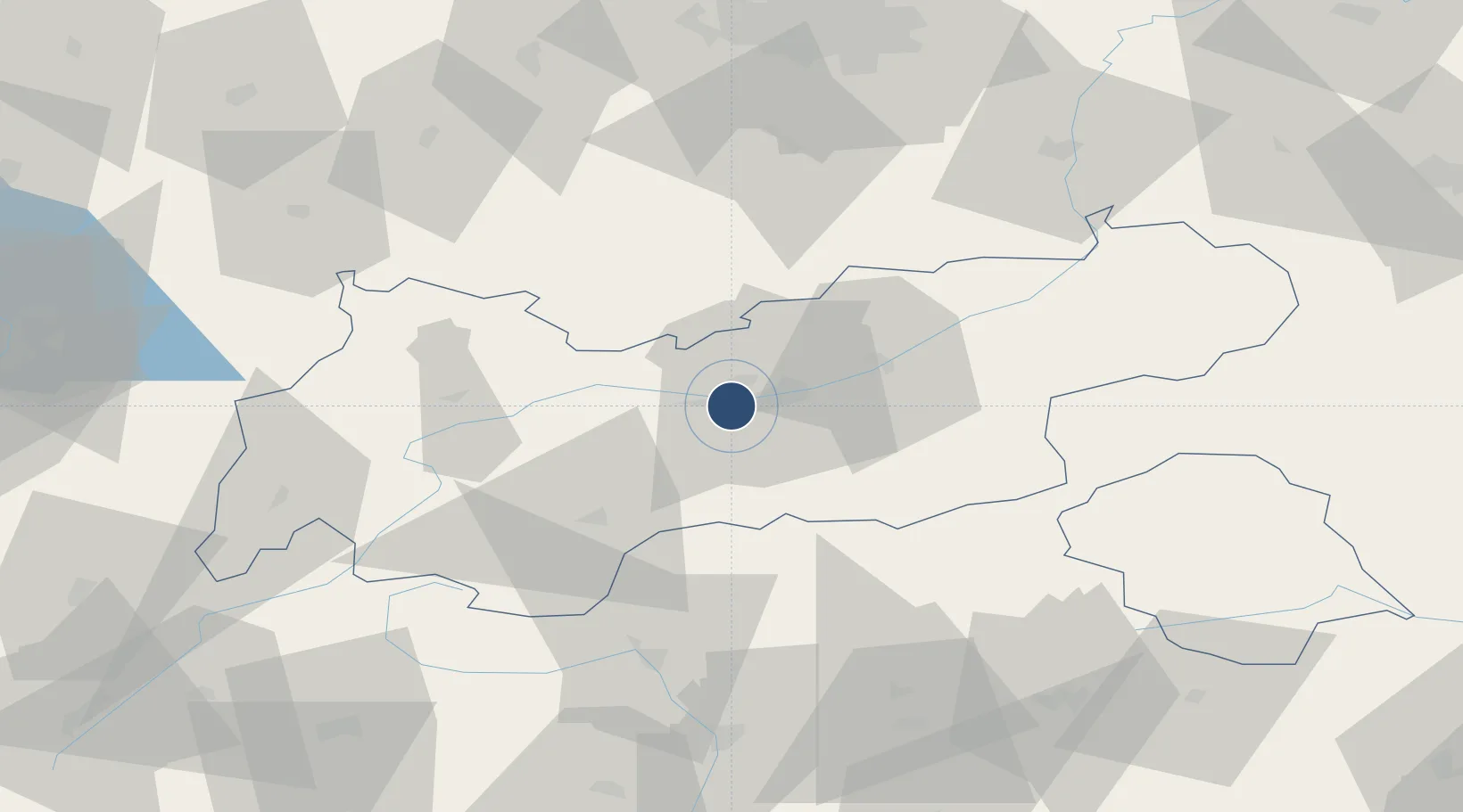
47.2602°, 11.3440°
6,562 ft
Longest runway
1
Runways
1,907 ft
Elevation

Runway & Layout

Innsbruck Airport runway & taxiway layout
Runway & taxiway layout — OpenStreetMap (ODbL) / OurAirports

Radio Frequencies

ATIS
126.025 MHz
TWR
120.1 MHz
APP
119.275 MHz
GND Crew
121.8 MHz
GND Crew
121.9 MHz
OurAirports

Navaids

INN NDB Innsbruck 420 kHz
KTI NDB Kuhtai 413 kHz
OurAirports

Runways · 1

RunwayDimensions SurfaceTrue headingLit
08/26 6,562 × 148ft Asphalt 081°
OurAirports

Airport Specifications

IATA code
INN
OurAirports
ICAO code
LOWI
OurAirports
Airport class
Large airport
OurAirports
Scheduled service
Yes
OurAirports
Runway surface
Asphalt
OurAirports
Served city
Innsbruck
OurAirports

Location

Location of LOWI
Natural Earth 10m (public domain) · Tirol · LOWI · 47.26, 11.34GoogleOSMYandex

Nearby Logistics Neighbours

Airports
  1. 1Bolzano Airport89 km
  2. 2Oberpfaffenhofen Airport91 km
  3. 3Lechfeld Air Base109 km
  4. 4Memmingen Allgau Airport116 km
  5. 5Altstetten Ultralight Field116 km
Nearest neighbours — logibook spatial index (haversine) over the source coordinates
Cities
  1. 1Kematen in Tirol6 km
  2. 2Rum8 km
  3. 3Sistrans9 km
  4. 4Thaur10 km
  5. 5Fulpmes12 km
Nearest neighbours — logibook spatial index (haversine) over the source coordinates
Ports
  1. 1Nogaro218 km
  2. 2Porto Di Lido-Venezia221 km
  3. 3Grado229 km
  4. 4Monfalcone236 km
  5. 5Porto Di Chioggia237 km
Nearest neighbours — logibook spatial index (haversine) over the source coordinates
Trade Zones
  1. 1Livigno Free Trade Zone125 km
  2. 2Freeport of Deggendorf211 km
  3. 3Consorzio Zona Industriale e Porto Fluviale di Padova213 km
  4. 4Free Port of Venice217 km
  5. 5Magazzini Generali Con Chiasso242 km
Nearest neighbours — logibook spatial index (haversine) over the source coordinates
DatabookThe Record of Consolidated Knowledge
Austria beyond logistics?
Browse databook

All Sources

AirportsOurAirports
Public domain
Portsthe NGA World Port Index
Public domain (US gov)
LocationsUN/LOCODE
UN/LOCODE — free
Trade Zonesthe World Bank SEZ database
CC BY 4.0
Trade ZonesOpen Zone Map
CC BY
InfrastructureOpenStreetMap
ODbL 1.0
← Austria airports