Transport Functions
Rail
Road
Hub Profile
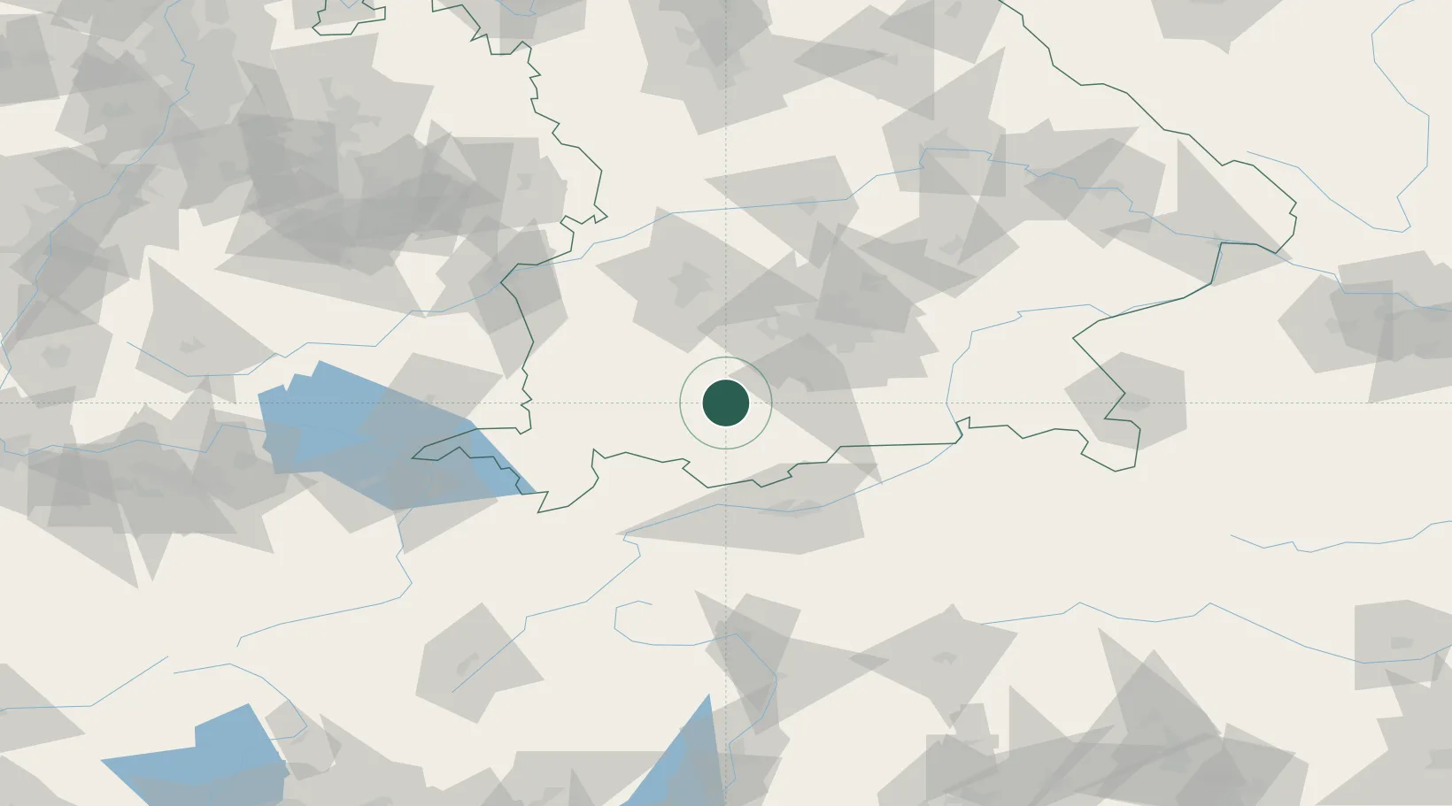
Place type
Populated place
Region
Bavaria
Population
12,689
Time zone
Europe/Berlin
Elevation
582 m
Location
Nearby Logistics Neighbours
Cities
- 1Polling, Weilheim-Schongau5 km
- 2Weilheim in Oberbayern7 km
- 3Huglfing8 km
- 4Wessobrunn10 km
- 5Wielenbach10 km
Ports
- 1Nogaro278 km
- 2Porto Di Lido-Venezia285 km
- 3Grado289 km
- 4Monfalcone293 km
- 5Porto Di Chioggia301 km
Airports
- 1Oberpfaffenhofen Airport35 km
- 2Lechfeld Air Base46 km
- 3Altstetten Ultralight Field59 km
- 4Innsbruck Airport64 km
- 5Memmingen Allgau Airport65 km
Trade Zones
- 1Livigno Free Trade Zone159 km
- 2Freeport of Deggendorf179 km
- 3ZFU Neuhof258 km
- 4ZFU Hautepierre265 km
- 5Magazzini Generali Con Chiasso271 km
DatabookThe Record of Consolidated Knowledge
Germany beyond logistics?