Transport Functions
Multimodal
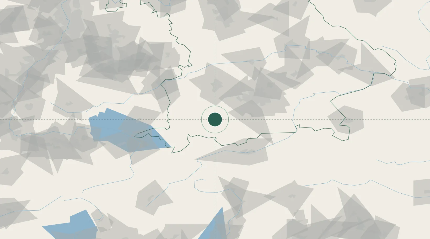
Hub Profile
Place type
Local administrative seat
Region
Bavaria
Population
3,282
Time zone
Europe/Berlin
Elevation
723 m
Location
Nearby Logistics Neighbours
Cities
- 1Hohenfurch5 km
- 2Wildsteig14 km
- 3Wessobrunn15 km
- 4Asch15 km
- 5Peissenberg15 km
Ports
- 1Nogaro288 km
- 2Porto Di Lido-Venezia292 km
- 3Grado300 km
- 4Monfalcone305 km
- 5Porto Di Chioggia308 km
Airports
- 1Lechfeld Air Base41 km
- 2Oberpfaffenhofen Airport43 km
- 3Memmingen Allgau Airport51 km
- 4Altstetten Ultralight Field63 km
- 5Augsburg Airport68 km
Trade Zones
- 1Livigno Free Trade Zone154 km
- 2Freeport of Deggendorf189 km
- 3ZFU Neuhof244 km
- 4ZFU Hautepierre251 km
- 5Magazzini Generali Con Chiasso263 km
DatabookThe Record of Consolidated Knowledge
Germany beyond logistics?