Transport Functions
Multimodal
Hub Profile
Place type
Local administrative seat
Region
Bavaria
Time zone
Europe/Berlin
Elevation
819 m
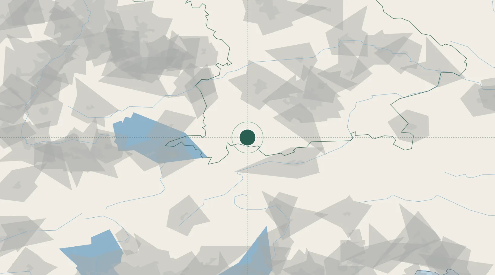
Location
Nearby Logistics Neighbours
Cities
- 1Hopfen Am See6 km
- 2Rieden am Forggensee7 km
- 3Hohenschwangau11 km
- 4Pfronten15 km
- 5Ebenhofen18 km
Ports
- 1Porto Di Lido-Venezia281 km
- 2Nogaro281 km
- 3Grado293 km
- 4Porto Di Chioggia295 km
- 5Monfalcone300 km
Airports
- 1Memmingen Allgau Airport52 km
- 2Lechfeld Air Base61 km
- 3Oberpfaffenhofen Airport64 km
- 4Innsbruck Airport64 km
- 5Altstetten Ultralight Field84 km
Trade Zones
- 1Livigno Free Trade Zone133 km
- 2Freeport of Deggendorf210 km
- 3ZFU Neuhof241 km
- 4Magazzini Generali Con Chiasso242 km
- 5ZFU Hautepierre248 km
DatabookThe Record of Consolidated Knowledge
Germany beyond logistics?