Transport Functions
Rail
Road
Hub Profile
Region
BY
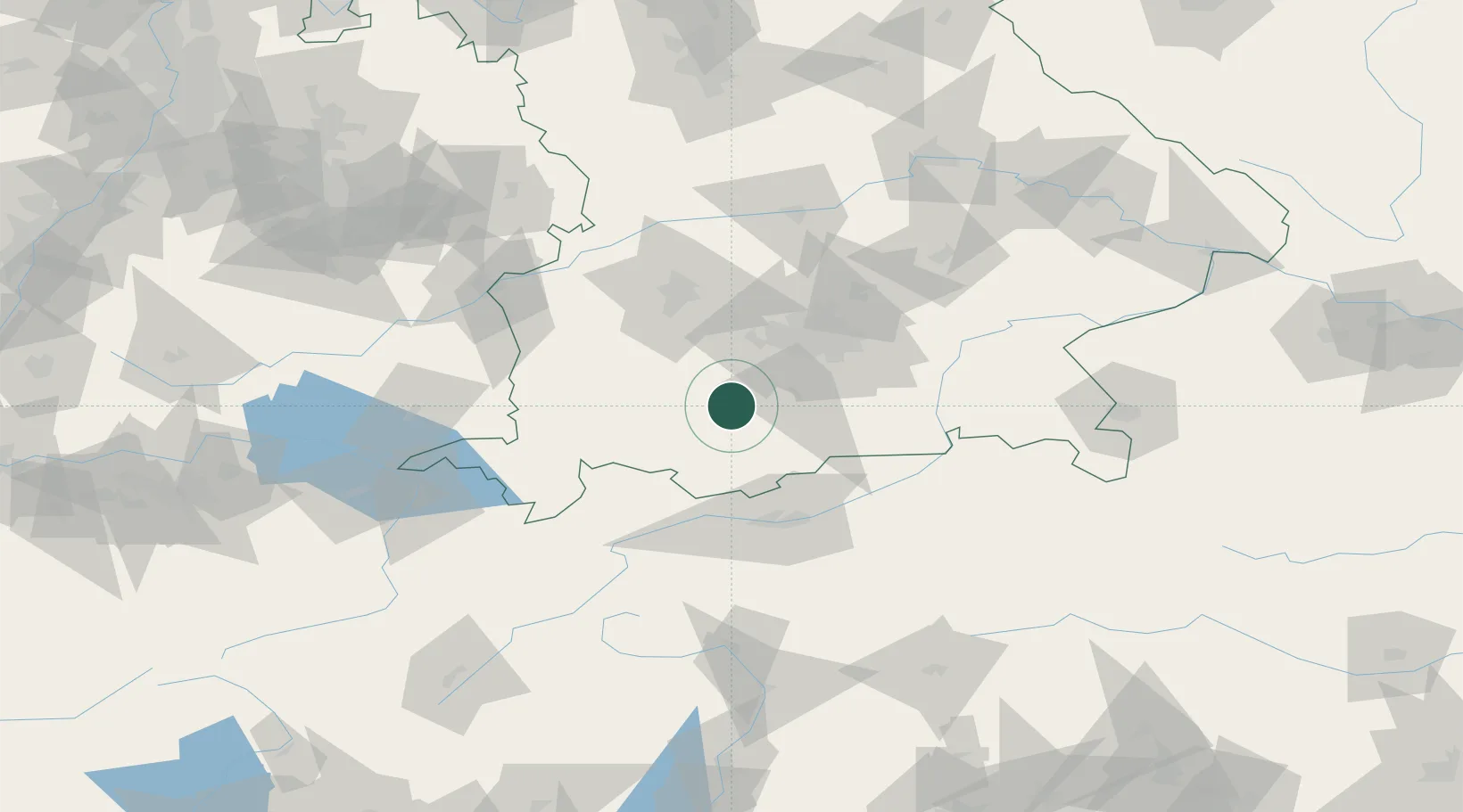
Location
Nearby Logistics Neighbours
Cities
- 1Polling, Weilheim-Schongau2 km
- 2Wielenbach4 km
- 3Peissenberg7 km
- 4Huglfing8 km
- 5Pähl8 km
Ports
- 1Nogaro277 km
- 2Porto Di Lido-Venezia286 km
- 3Grado288 km
- 4Monfalcone292 km
- 5Porto Di Chioggia302 km
Airports
- 1Oberpfaffenhofen Airport29 km
- 2Lechfeld Air Base45 km
- 3Altstetten Ultralight Field54 km
- 4Innsbruck Airport65 km
- 5Augsburg Airport68 km
Trade Zones
- 1Livigno Free Trade Zone165 km
- 2Freeport of Deggendorf172 km
- 3ZFU Neuhof263 km
- 4ZFU Hautepierre270 km
- 5Magazzini Generali Con Chiasso277 km
DatabookThe Record of Consolidated Knowledge
Germany beyond logistics?