Transport Functions
Multimodal
Hub Profile
Place type
Local administrative seat
Region
Bavaria
Population
2,377
Time zone
Europe/Berlin
Elevation
582 m
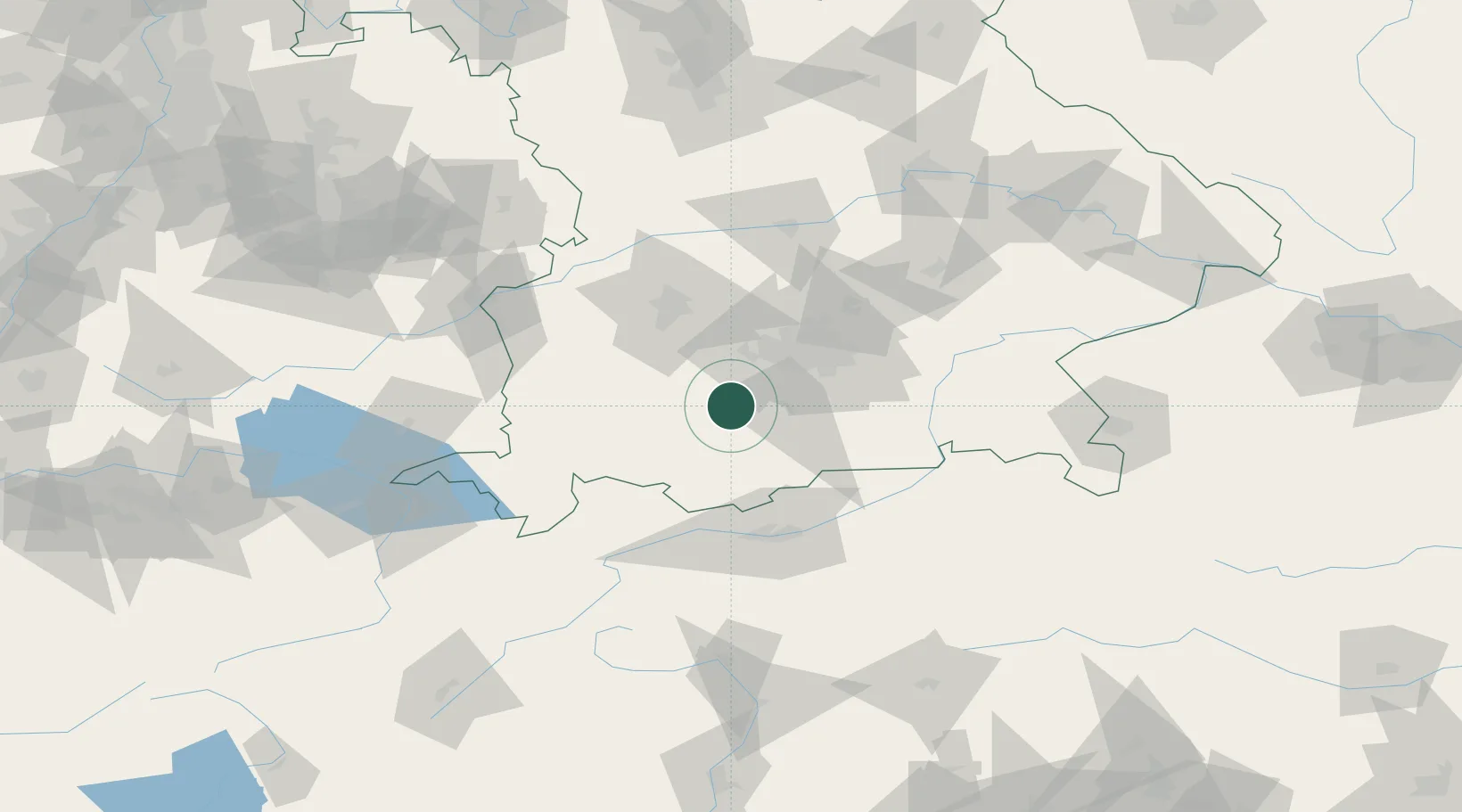
Location
Nearby Logistics Neighbours
Cities
- 1Wielenbach5 km
- 2Raisting7 km
- 3Weilheim in Oberbayern8 km
- 4Feldafing8 km
- 5Polling, Weilheim-Schongau10 km
Ports
- 1Nogaro282 km
- 2Porto Di Lido-Venezia292 km
- 3Grado293 km
- 4Monfalcone296 km
- 5Porto Di Chioggia309 km
Airports
- 1Oberpfaffenhofen Airport22 km
- 2Lechfeld Air Base40 km
- 3Altstetten Ultralight Field46 km
- 4Augsburg Airport61 km
- 5Munich Airport67 km
Trade Zones
- 1Freeport of Deggendorf165 km
- 2Livigno Free Trade Zone173 km
- 3ZFU Neuhof263 km
- 4ZFU Hautepierre270 km
- 5Magazzini Generali Con Chiasso285 km
DatabookThe Record of Consolidated Knowledge
Germany beyond logistics?