Transport Functions
Road
Multimodal
Hub Profile
Place type
Local administrative seat
Region
Bavaria
Time zone
Europe/Berlin
Elevation
555 m
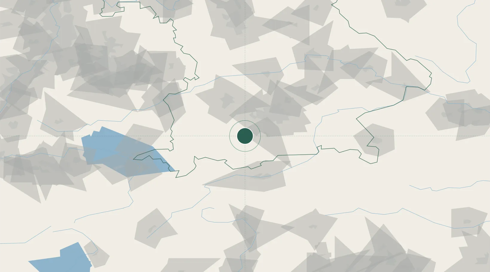
Location
Nearby Logistics Neighbours
Cities
- 1Weilheim in Oberbayern4 km
- 2Pähl5 km
- 3Polling, Weilheim-Schongau6 km
- 4Raisting7 km
- 5Wessobrunn9 km
Ports
- 1Nogaro280 km
- 2Porto Di Lido-Venezia290 km
- 3Grado291 km
- 4Monfalcone295 km
- 5Porto Di Chioggia306 km
Airports
- 1Oberpfaffenhofen Airport26 km
- 2Lechfeld Air Base42 km
- 3Altstetten Ultralight Field50 km
- 4Augsburg Airport64 km
- 5Innsbruck Airport69 km
Trade Zones
- 1Livigno Free Trade Zone168 km
- 2Freeport of Deggendorf169 km
- 3ZFU Neuhof262 km
- 4ZFU Hautepierre269 km
- 5Magazzini Generali Con Chiasso280 km
DatabookThe Record of Consolidated Knowledge
Germany beyond logistics?