Transport Functions
Rail
Road
Hub Profile
Region
BY
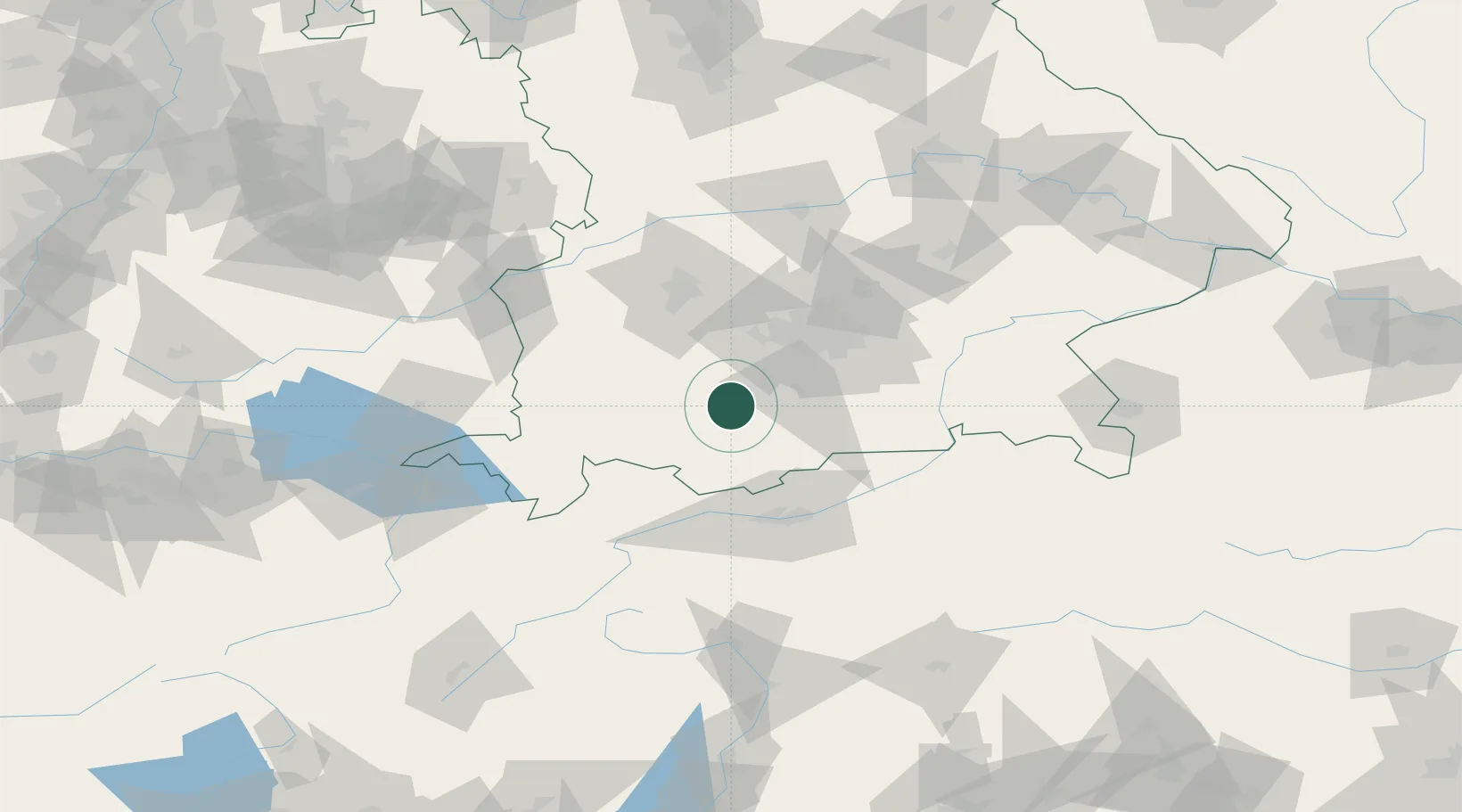
Location
Nearby Logistics Neighbours
Cities
- 1Weilheim in Oberbayern2 km
- 2Peissenberg5 km
- 3Wielenbach6 km
- 4Huglfing6 km
- 5Pähl10 km
Ports
- 1Nogaro276 km
- 2Porto Di Lido-Venezia285 km
- 3Grado288 km
- 4Monfalcone291 km
- 5Porto Di Chioggia301 km
Airports
- 1Oberpfaffenhofen Airport32 km
- 2Lechfeld Air Base46 km
- 3Altstetten Ultralight Field56 km
- 4Innsbruck Airport64 km
- 5Augsburg Airport69 km
Trade Zones
- 1Livigno Free Trade Zone163 km
- 2Freeport of Deggendorf174 km
- 3ZFU Neuhof263 km
- 4ZFU Hautepierre269 km
- 5Magazzini Generali Con Chiasso275 km
DatabookThe Record of Consolidated Knowledge
Germany beyond logistics?