Transport Functions
Road
Multimodal
Hub Profile
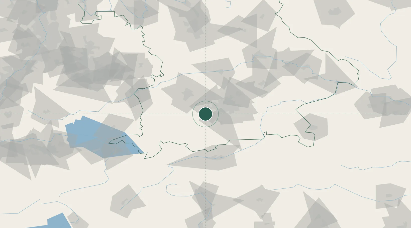
Place type
Local administrative seat
Region
Bavaria
Population
7,033
Time zone
Europe/Berlin
Elevation
568 m
Location
Nearby Logistics Neighbours
Cities
- 1Wörthsee6 km
- 2Inning am Ammersee7 km
- 3Greifenberg9 km
- 4Grafrath10 km
- 5Schöngeising11 km
Ports
- 1Nogaro294 km
- 2Grado305 km
- 3Porto Di Lido-Venezia306 km
- 4Monfalcone307 km
- 5Porto Di Chioggia323 km
Airports
- 1Oberpfaffenhofen Airport8 km
- 2Lechfeld Air Base30 km
- 3Altstetten Ultralight Field31 km
- 4Augsburg Airport48 km
- 5Munich Airport56 km
Trade Zones
- 1Freeport of Deggendorf155 km
- 2Livigno Free Trade Zone186 km
- 3ZFU Neuhof260 km
- 4ZFU Hautepierre267 km
- 5ZFU Mulhouse290 km
DatabookThe Record of Consolidated Knowledge
Germany beyond logistics?