Transport Functions
Rail
Road
Hub Profile
Place type
Local administrative seat
Region
Lower Saxony
Time zone
Europe/Berlin
Elevation
21 m
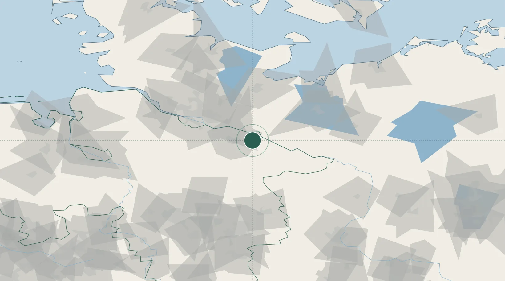
Location
Nearby Logistics Neighbours
Cities
- 1Rullstorf7 km
- 2Bleckede8 km
- 3Volkstorf8 km
- 4Scharnebeck9 km
- 5Echem10 km
Ports
- 1Hamburg56 km
- 2Lubeck69 km
- 3Lubeck-Travemunde80 km
- 4Butzfleth85 km
- 5Wismar89 km
Airports
Trade Zones
DatabookThe Record of Consolidated Knowledge
Germany beyond logistics?