UN/LOCODE hub · Germany
DELBG

Lüneburg

53.2500°, 10.4000°
2
Transport functions

Transport Functions

Rail
Road
UN/LOCODE

Hub Profile

Region
NI
GeoNames

Location

Location of DELBG
Natural Earth 10m (public domain) · NI · DELBG · 53.25, 10.40GoogleOSMYandex

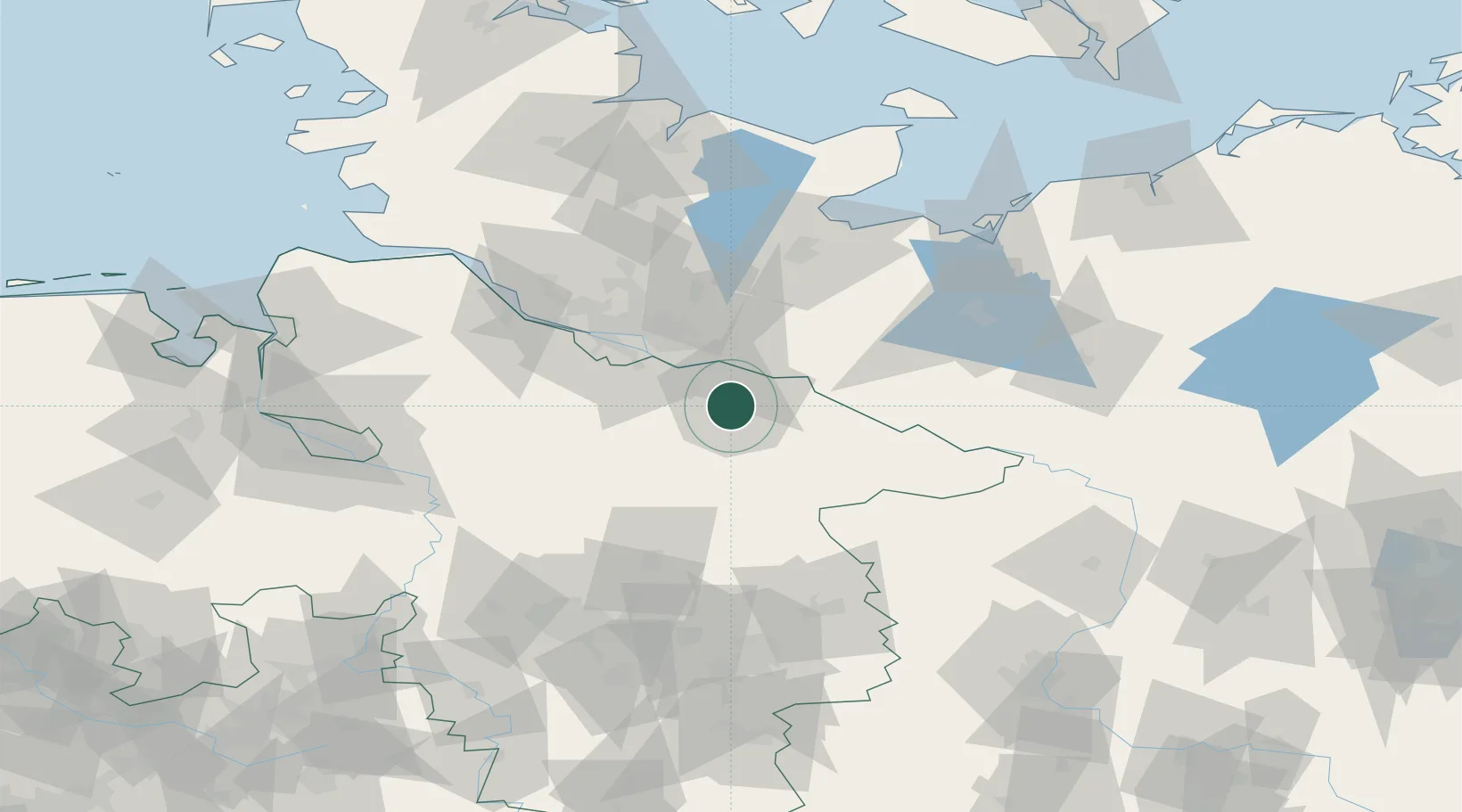
Nearby Logistics Neighbours

Cities
  1. 1Bardowick6 km
  2. 2Deutsch Evern6 km
  3. 3Mechtersen7 km
  4. 4Scharnebeck10 km
  5. 5Rullstorf10 km
Nearest neighbours — logibook spatial index (haversine) over the source coordinates
Ports
  1. 1Hamburg46 km
  2. 2Lubeck73 km
  3. 3Butzfleth74 km
  4. 4Lubeck-Travemunde86 km
  5. 5Gluckstadt88 km
Nearest neighbours — logibook spatial index (haversine) over the source coordinates
Airports
  1. 1Faßberg Air Base39 km
  2. 2Hamburg-Finkenwerder Airport49 km
  3. 3Hamburg Helmut Schmidt Airport50 km
  4. 4Uetersen-Heist Airfield64 km
  5. 5Lübeck Blankensee Airport65 km
Nearest neighbours — logibook spatial index (haversine) over the source coordinates
Trade Zones
  1. 1Freeport of Bremerhaven (Freihafen Bremerhaven)110 km
  2. 2Freeport of Kiel122 km
  3. 3Freeport of Cuxhaven (Freihafen Cuxhaven)137 km
  4. 4Freeport of Emden214 km
  5. 5Swinoujscie Duty Free Zone266 km
Nearest neighbours — logibook spatial index (haversine) over the source coordinates
DatabookThe Record of Consolidated Knowledge
Germany beyond logistics?
Browse databook

All Sources

LocationsUN/LOCODE
UN/LOCODE — free
Portsthe NGA World Port Index
Public domain (US gov)
AirportsOurAirports
Public domain
Trade Zonesthe World Bank SEZ database
CC BY 4.0
Trade ZonesOpen Zone Map
CC BY
← Germany locations