Transport Functions
Road
Multimodal
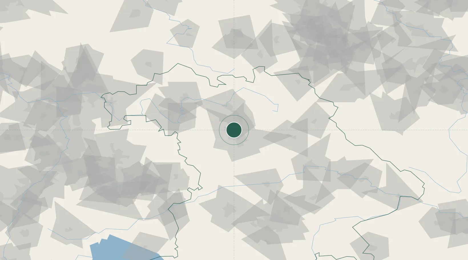
Hub Profile
Place type
Populated place
Region
Bavaria
Time zone
Europe/Berlin
Elevation
282 m
Location
Nearby Logistics Neighbours
Cities
- 1Kriegenbrunn2 km
- 2Kosbach4 km
- 3Veitsbronn7 km
- 4Bubenreuth8 km
- 5Grossenseebach10 km
Airports
- 1Nuremberg Airport11 km
- 2Bamberg-Breitenau Airfield40 km
- 3Bayreuth Airport67 km
- 4Grafenwöhr Army Air Field72 km
- 5Hohenfels Army Airfield74 km
Trade Zones
- 1Freeport of Deggendorf162 km
- 2Podbořany Industrial Zone189 km
- 3Žatec - Triangle Strategic Industrial Zone205 km
- 4Most - Joseph Industrial Zone217 km
- 5ZFU Neuhof260 km
DatabookThe Record of Consolidated Knowledge
Germany beyond logistics?