Transport Functions
Rail
Road
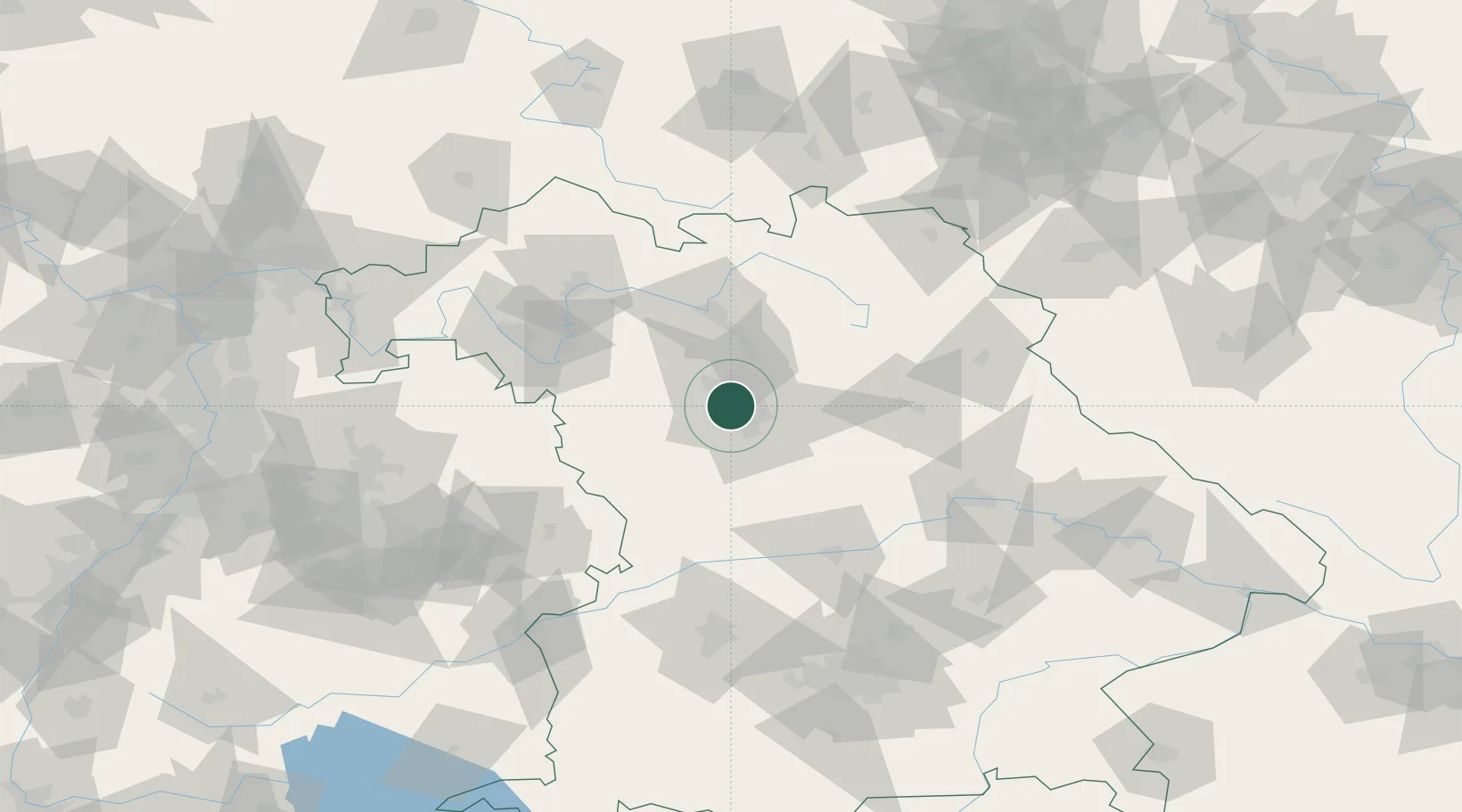
Hub Profile
Place type
Populated place
Region
Bavaria
Population
112,025
Time zone
Europe/Berlin
Elevation
302 m
Location
Nearby Logistics Neighbours
Cities
- 1Zirndorf2 km
- 2Oberasbach bei Nürnberg4 km
- 3Kriegenbrunn9 km
- 4Veitsbronn10 km
- 5Rosstal10 km
Ports
- 1Bremen435 km
- 2Nogaro444 km
- 3Oldenburg449 km
- 4Monfalcone453 km
- 5Elsfleth453 km
Airports
Trade Zones
- 1Freeport of Deggendorf157 km
- 2Podbořany Industrial Zone194 km
- 3Žatec - Triangle Strategic Industrial Zone210 km
- 4Most - Joseph Industrial Zone222 km
- 5ZFU Neuhof255 km
DatabookThe Record of Consolidated Knowledge
Germany beyond logistics?