Transport Functions
Rail
Road
Hub Profile
Place type
Local administrative seat
Region
Lower Saxony
Population
9,793
Time zone
Europe/Berlin
Elevation
8 m
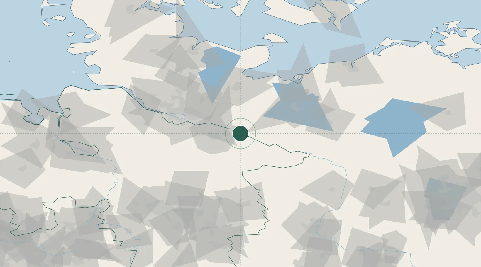
Location
Nearby Logistics Neighbours
Cities
- 1Neetze8 km
- 2Boizenburg9 km
- 3Lauenburg/Elbe13 km
- 4Rullstorf13 km
- 5Echem14 km
Ports
- 1Hamburg60 km
- 2Lubeck65 km
- 3Lubeck-Travemunde75 km
- 4Wismar82 km
- 5Neustadt89 km
Airports
Trade Zones
DatabookThe Record of Consolidated Knowledge
Germany beyond logistics?