Transport Functions
Multimodal
Hub Profile
Region
NI
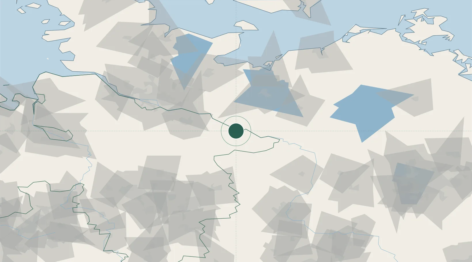
Location
Nearby Logistics Neighbours
Cities
- 1Hitzacker1 km
- 2Tiessau5 km
- 3Vockfey11 km
- 4Dömitz15 km
- 5Neu Kaliss17 km
Ports
- 1Lubeck85 km
- 2Hamburg86 km
- 3Wismar88 km
- 4Lubeck-Travemunde91 km
- 5Neustadt107 km
Airports
- 1Faßberg Air Base62 km
- 2Lübeck Blankensee Airport76 km
- 3Hamburg Helmut Schmidt Airport88 km
- 4Hamburg-Finkenwerder Airport90 km
- 5Celle Army Airfield92 km
Trade Zones
DatabookThe Record of Consolidated Knowledge
Germany beyond logistics?