Transport Functions
Port
Road
Hub Profile
Place type
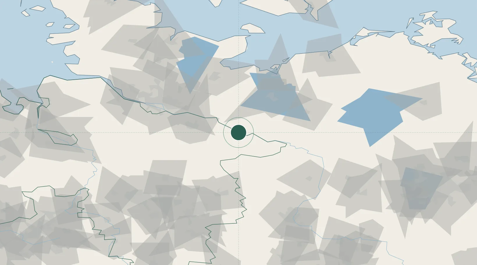
Populated place
Region
Lower Saxony
Time zone
Europe/Berlin
Elevation
20 m
Location
Nearby Logistics Neighbours
Cities
- 1Dotzingen5 km
- 2Hitzacker6 km
- 3Vockfey7 km
- 4Dömitz19 km
- 5Neu Kaliss20 km
Ports
- 1Lubeck80 km
- 2Hamburg81 km
- 3Wismar86 km
- 4Lubeck-Travemunde87 km
- 5Neustadt103 km
Airports
- 1Faßberg Air Base61 km
- 2Lübeck Blankensee Airport71 km
- 3Hamburg Helmut Schmidt Airport83 km
- 4Hamburg-Finkenwerder Airport86 km
- 5Celle Army Airfield92 km
Trade Zones
DatabookThe Record of Consolidated Knowledge
Germany beyond logistics?