Transport Functions
Multimodal
Hub Profile
Place type
Local administrative seat
Region
Lower Saxony
Population
3,209
Time zone
Europe/Berlin
Elevation
4 m
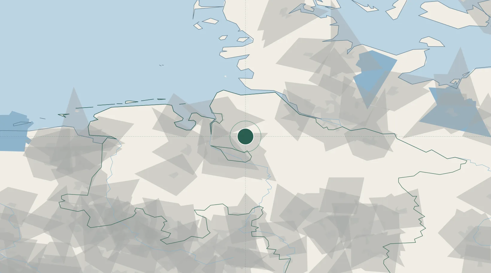
Location
Nearby Logistics Neighbours
Cities
- 1Gnarrenburg8 km
- 2Bokel11 km
- 3Neuenfelde12 km
- 4Osterholz-Scharmbeck14 km
- 5Basdahl14 km
Ports
- 1Bremen24 km
- 2Brake29 km
- 3Bremerhaven31 km
- 4Elsfleth32 km
- 5Nordenham33 km
Airports
Trade Zones
DatabookThe Record of Consolidated Knowledge
Germany beyond logistics?