UN/LOCODE hub · Germany
DEOSS

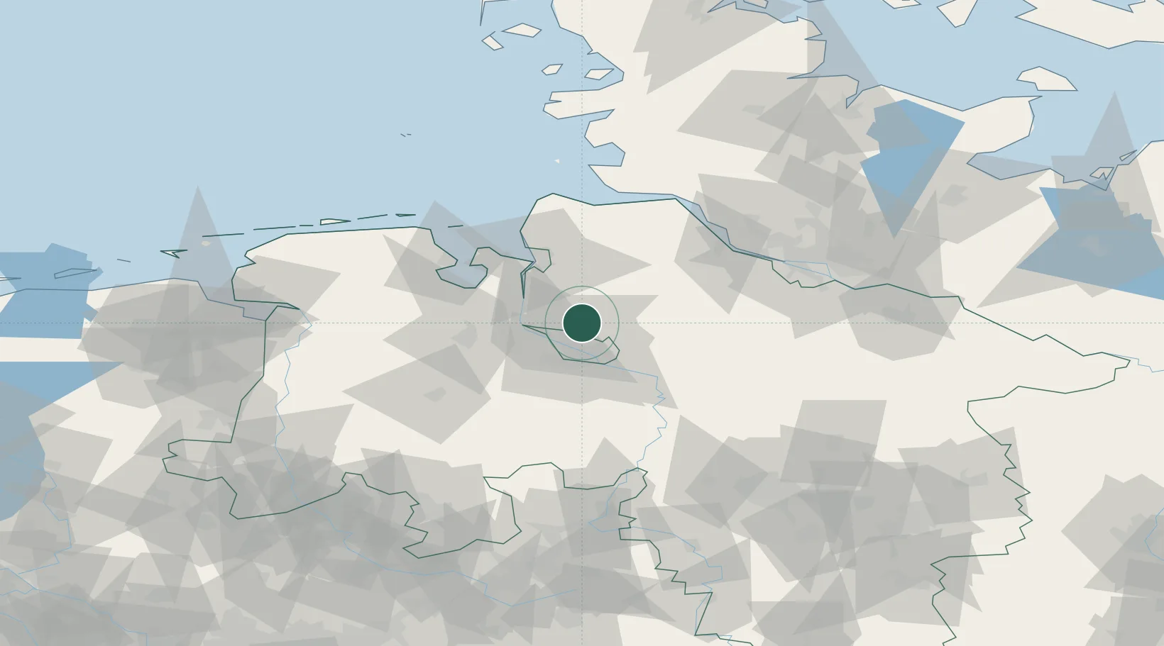
Osterholz-Scharmbeck

53.2333°, 8.8000°
31,405
Population
2
Transport functions

Transport Functions

Rail
Road
UN/LOCODE

Hub Profile

Place type
District seat
GeoNames
Region
Lower Saxony
GeoNames
Population
31,405
GeoNames
Time zone
Europe/Berlin
GeoNames
Elevation
12 m
GeoNames

Location

Location of DEOSS
Natural Earth 10m (public domain) · Lower Saxony · DEOSS · 53.23, 8.80GoogleOSMYandex

Nearby Logistics Neighbours

Cities
  1. 1Neuenfelde2 km
  2. 2Ritterhude7 km
  3. 3Oslebshausen10 km
  4. 4Vollersode14 km
  5. 5Lilienthal14 km
Nearest neighbours — logibook spatial index (haversine) over the source coordinates
Ports
  1. 1Bremen11 km
  2. 2Elsfleth22 km
  3. 3Brake24 km
  4. 4Nordenham35 km
  5. 5Bremerhaven36 km
Nearest neighbours — logibook spatial index (haversine) over the source coordinates
Airports
  1. 1Bremen Airport21 km
  2. 2Sea-Airport Cuxhaven/Nordholz / Nordholz Naval Airbase60 km
  3. 3Uetersen-Heist Airfield75 km
  4. 4Hamburg-Finkenwerder Airport76 km
  5. 5Diepholz Air Base78 km
Nearest neighbours — logibook spatial index (haversine) over the source coordinates
Trade Zones
  1. 1Freeport of Bremerhaven (Freihafen Bremerhaven)16 km
  2. 2Freeport of Cuxhaven (Freihafen Cuxhaven)68 km
  3. 3Freeport of Emden108 km
  4. 4Freeport of Kiel152 km
  5. 5Freeport of Duisburg249 km
Nearest neighbours — logibook spatial index (haversine) over the source coordinates
DatabookThe Record of Consolidated Knowledge
Germany beyond logistics?
Browse databook

All Sources

LocationsUN/LOCODE
UN/LOCODE — free
LocationsGeoNames
CC BY 4.0
Portsthe NGA World Port Index
Public domain (US gov)
AirportsOurAirports
Public domain
Trade Zonesthe World Bank SEZ database
CC BY 4.0
Trade ZonesOpen Zone Map
CC BY
← Germany locations