Transport Functions
Port
Road
Hub Profile
Place type
Populated place
Region
Lower Saxony
Population
2,680
Time zone
Europe/Berlin
Elevation
13 m
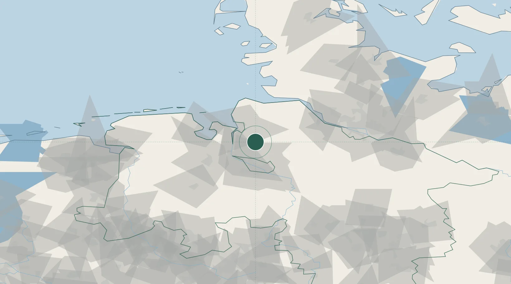
Location
Nearby Logistics Neighbours
Cities
- 1Vollersode11 km
- 2Loxstedt12 km
- 3Gnarrenburg16 km
- 4Osterholz-Scharmbeck17 km
- 5Basdahl17 km
Ports
- 1Brake20 km
- 2Bremerhaven21 km
- 3Nordenham22 km
- 4Elsfleth26 km
- 5Bremen28 km
Airports
Trade Zones
DatabookThe Record of Consolidated Knowledge
Germany beyond logistics?