UN/LOCODE hub · Germany
DENFL

Neuenfelde

53.2333°, 8.8333°
1
Transport functions

Transport Functions

Multimodal
UN/LOCODE

Hub Profile

Place type
Populated place
GeoNames
Region
Lower Saxony
GeoNames
Time zone
Europe/Berlin
GeoNames
Elevation
6 m
GeoNames

Location

Location of DENFL
Natural Earth 10m (public domain) · Lower Saxony · DENFL · 53.23, 8.83GoogleOSMYandex

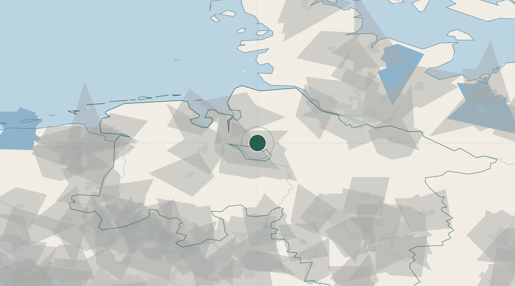
Nearby Logistics Neighbours

Cities
  1. 1Osterholz-Scharmbeck2 km
  2. 2Ritterhude8 km
  3. 3Oslebshausen11 km
  4. 4Vollersode12 km
  5. 5Lilienthal12 km
Nearest neighbours — logibook spatial index (haversine) over the source coordinates
Ports
  1. 1Bremen12 km
  2. 2Elsfleth24 km
  3. 3Brake26 km
  4. 4Nordenham36 km
  5. 5Bremerhaven37 km
Nearest neighbours — logibook spatial index (haversine) over the source coordinates
Airports
  1. 1Bremen Airport21 km
  2. 2Sea-Airport Cuxhaven/Nordholz / Nordholz Naval Airbase61 km
  3. 3Uetersen-Heist Airfield74 km
  4. 4Hamburg-Finkenwerder Airport75 km
  5. 5Diepholz Air Base79 km
Nearest neighbours — logibook spatial index (haversine) over the source coordinates
Trade Zones
  1. 1Freeport of Bremerhaven (Freihafen Bremerhaven)16 km
  2. 2Freeport of Cuxhaven (Freihafen Cuxhaven)68 km
  3. 3Freeport of Emden110 km
  4. 4Freeport of Kiel151 km
  5. 5Freeport of Duisburg251 km
Nearest neighbours — logibook spatial index (haversine) over the source coordinates
DatabookThe Record of Consolidated Knowledge
Germany beyond logistics?
Browse databook

All Sources

LocationsUN/LOCODE
UN/LOCODE — free
Portsthe NGA World Port Index
Public domain (US gov)
AirportsOurAirports
Public domain
Trade Zonesthe World Bank SEZ database
CC BY 4.0
Trade ZonesOpen Zone Map
CC BY
← Germany locations