Transport Functions
Multimodal
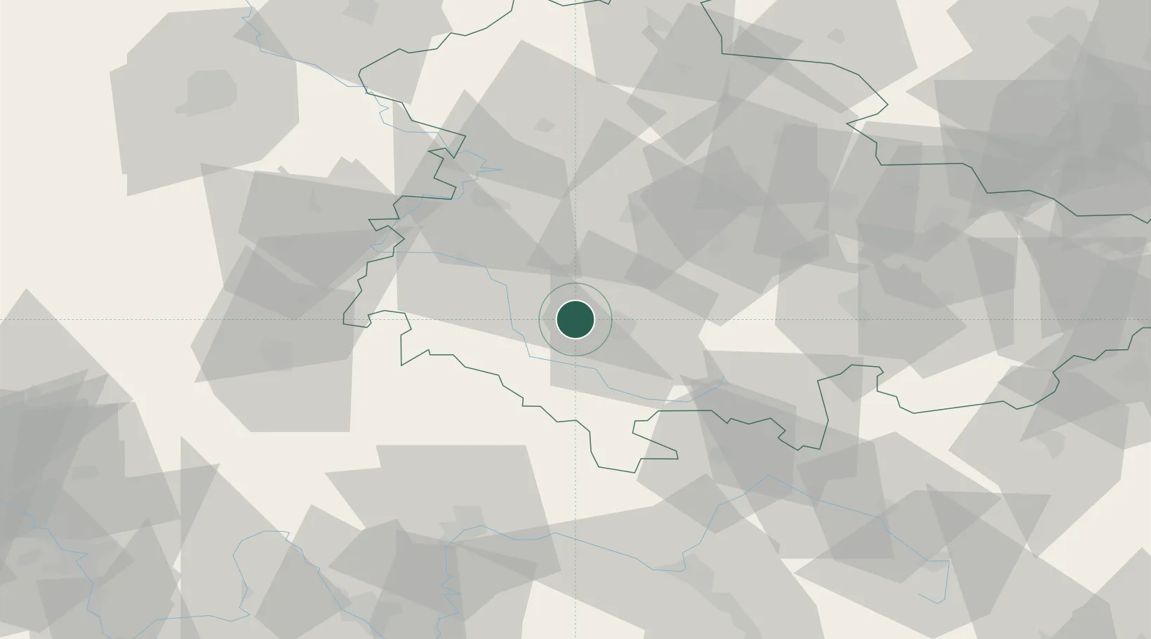
Hub Profile
Place type
Local administrative seat
Region
Thuringia
Population
2,209
Time zone
Europe/Berlin
Elevation
393 m
Location
Nearby Logistics Neighbours
Cities
- 1Steinbach-Hallenberg6 km
- 2Altenfeld6 km
- 3Zella-Mehlis7 km
- 4Schmalkalden10 km
- 5Floh-Seligenthal12 km
Airports
- 1Eisenach-Kindel Airport38 km
- 2Erfurt-Weimar Airport47 km
- 3Bamberg-Breitenau Airfield85 km
- 4Hof-Plauen Airport101 km
- 5Fritzlar Army Airfield103 km
Trade Zones
- 1Podbořany Industrial Zone208 km
- 2Žatec - Triangle Strategic Industrial Zone212 km
- 3Most - Joseph Industrial Zone219 km
- 4Freeport of Deggendorf262 km
- 5Freeport of Duisburg291 km
DatabookThe Record of Consolidated Knowledge
Germany beyond logistics?