Transport Functions
Rail
Road
Multimodal
Hub Profile
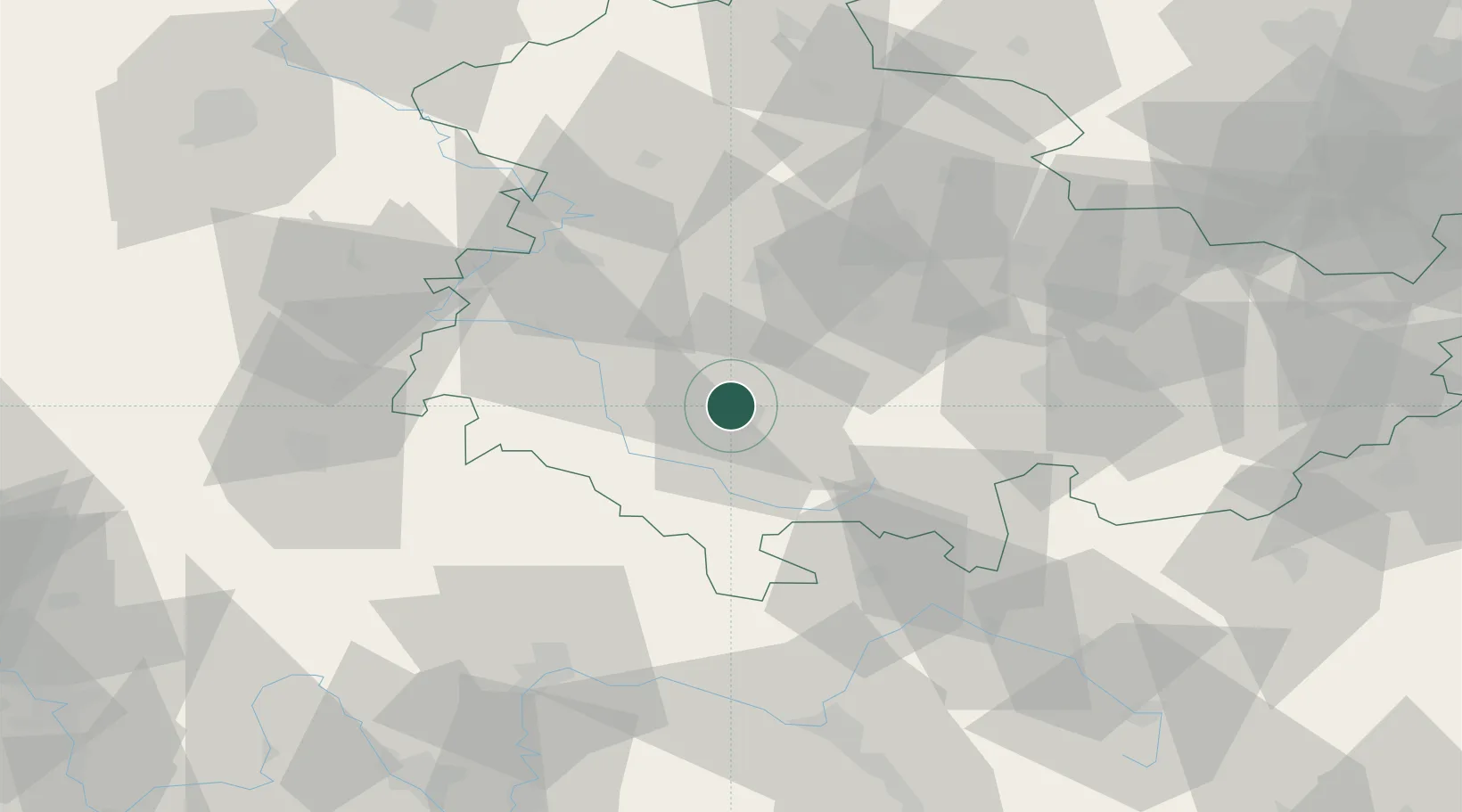
Place type
Populated place
Region
Thuringia
Population
12,361
Time zone
Europe/Berlin
Elevation
485 m
Location
Nearby Logistics Neighbours
Cities
- 1Altenfeld2 km
- 2Viernau7 km
- 3Steinbach-Hallenberg8 km
- 4Elgersburg15 km
- 5Gräfenroda15 km
Airports
- 1Eisenach-Kindel Airport40 km
- 2Erfurt-Weimar Airport43 km
- 3Bamberg-Breitenau Airfield83 km
- 4Hof-Plauen Airport94 km
- 5Bayreuth Airport102 km
Trade Zones
- 1Podbořany Industrial Zone201 km
- 2Žatec - Triangle Strategic Industrial Zone205 km
- 3Most - Joseph Industrial Zone212 km
- 4Freeport of Deggendorf258 km
- 5Freeport of Duisburg297 km
DatabookThe Record of Consolidated Knowledge
Germany beyond logistics?