Transport Functions
Multimodal
Hub Profile
Place type
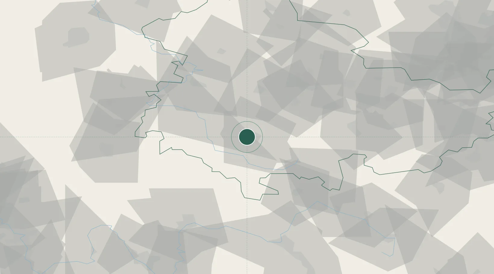
Populated place
Region
Thuringia
Time zone
Europe/Berlin
Elevation
529 m
Location
Nearby Logistics Neighbours
Cities
- 1Zella-Mehlis2 km
- 2Viernau6 km
- 3Steinbach-Hallenberg9 km
- 4Schleusingen15 km
- 5Schmalkalden16 km
Airports
- 1Eisenach-Kindel Airport41 km
- 2Erfurt-Weimar Airport45 km
- 3Bamberg-Breitenau Airfield82 km
- 4Hof-Plauen Airport95 km
- 5Bayreuth Airport102 km
Trade Zones
- 1Podbořany Industrial Zone201 km
- 2Žatec - Triangle Strategic Industrial Zone206 km
- 3Most - Joseph Industrial Zone213 km
- 4Freeport of Deggendorf257 km
- 5Freeport of Duisburg297 km
DatabookThe Record of Consolidated Knowledge
Germany beyond logistics?