UN/LOCODE hub · Germany
DEURO

Bühren bei Göttingen

51.4833°, 9.6833°
1
Transport functions

Transport Functions

Rail
UN/LOCODE

Hub Profile

Region
NI
GeoNames

Location

Location of DEURO
Natural Earth 10m (public domain) · NI · DEURO · 51.48, 9.68GoogleOSMYandex

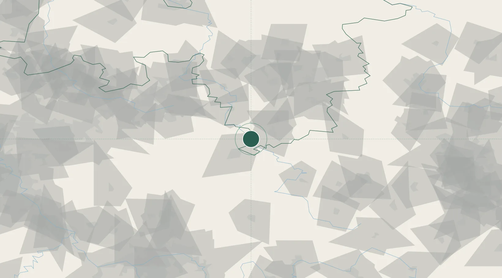
Nearby Logistics Neighbours

Cities
  1. 1Reinhardshagen6 km
  2. 2Dransfeld6 km
  3. 3Hannoversch Münden7 km
  4. 4Göttingen11 km
  5. 5Adelebsen12 km
Nearest neighbours — logibook spatial index (haversine) over the source coordinates
Ports
  1. 1Bremen194 km
  2. 2Oldenburg207 km
  3. 3Elsfleth211 km
  4. 4Brake221 km
  5. 5Hamburg230 km
Nearest neighbours — logibook spatial index (haversine) over the source coordinates
Airports
  1. 1Kassel Airport22 km
  2. 2Fritzlar Army Airfield49 km
  3. 3Paderborn Lippstadt Airport75 km
  4. 4Eisenach-Kindel Airport78 km
  5. 5Bielefeld Airport95 km
Nearest neighbours — logibook spatial index (haversine) over the source coordinates
Trade Zones
  1. 1Freeport of Bremerhaven (Freihafen Bremerhaven)189 km
  2. 2Freeport of Duisburg215 km
  3. 3Rheinische Revier SWZ239 km
  4. 4Freeport of Emden266 km
  5. 5Freeport of Cuxhaven (Freihafen Cuxhaven)271 km
Nearest neighbours — logibook spatial index (haversine) over the source coordinates
DatabookThe Record of Consolidated Knowledge
Germany beyond logistics?
Browse databook

All Sources

LocationsUN/LOCODE
UN/LOCODE — free
Portsthe NGA World Port Index
Public domain (US gov)
AirportsOurAirports
Public domain
Trade Zonesthe World Bank SEZ database
CC BY 4.0
Trade ZonesOpen Zone Map
CC BY
← Germany locations