Transport Functions
Road
Multimodal
Hub Profile
Place type
Populated place
Region
Lower Saxony
Population
4,422
Time zone
Europe/Berlin
Elevation
309 m
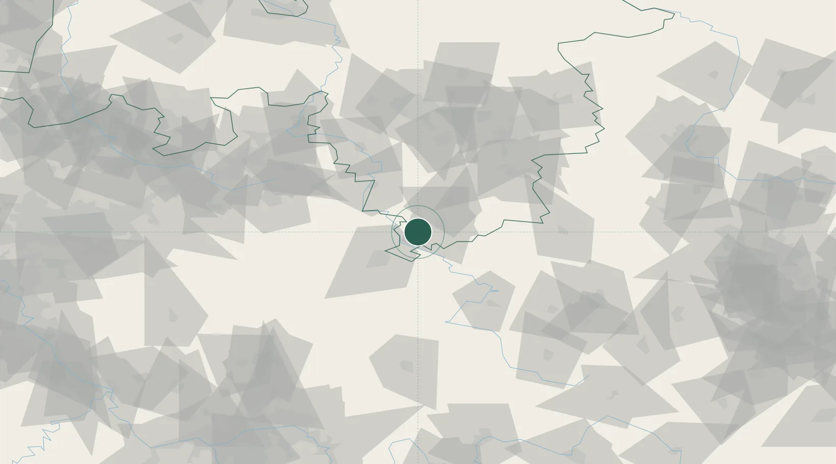
Location
Nearby Logistics Neighbours
Cities
- 1Bühren bei Göttingen6 km
- 2Göttingen8 km
- 3Adelebsen9 km
- 4Hannoversch Münden11 km
- 5Reinhardshagen12 km
Airports
- 1Kassel Airport28 km
- 2Fritzlar Army Airfield54 km
- 3Eisenach-Kindel Airport75 km
- 4Paderborn Lippstadt Airport80 km
- 5Bückeburg Air Base99 km
Trade Zones
DatabookThe Record of Consolidated Knowledge
Germany beyond logistics?