Transport Functions
Road
Multimodal
Hub Profile
Place type
Local administrative seat
Region
Bavaria
Population
1,287
Time zone
Europe/Berlin
Elevation
251 m
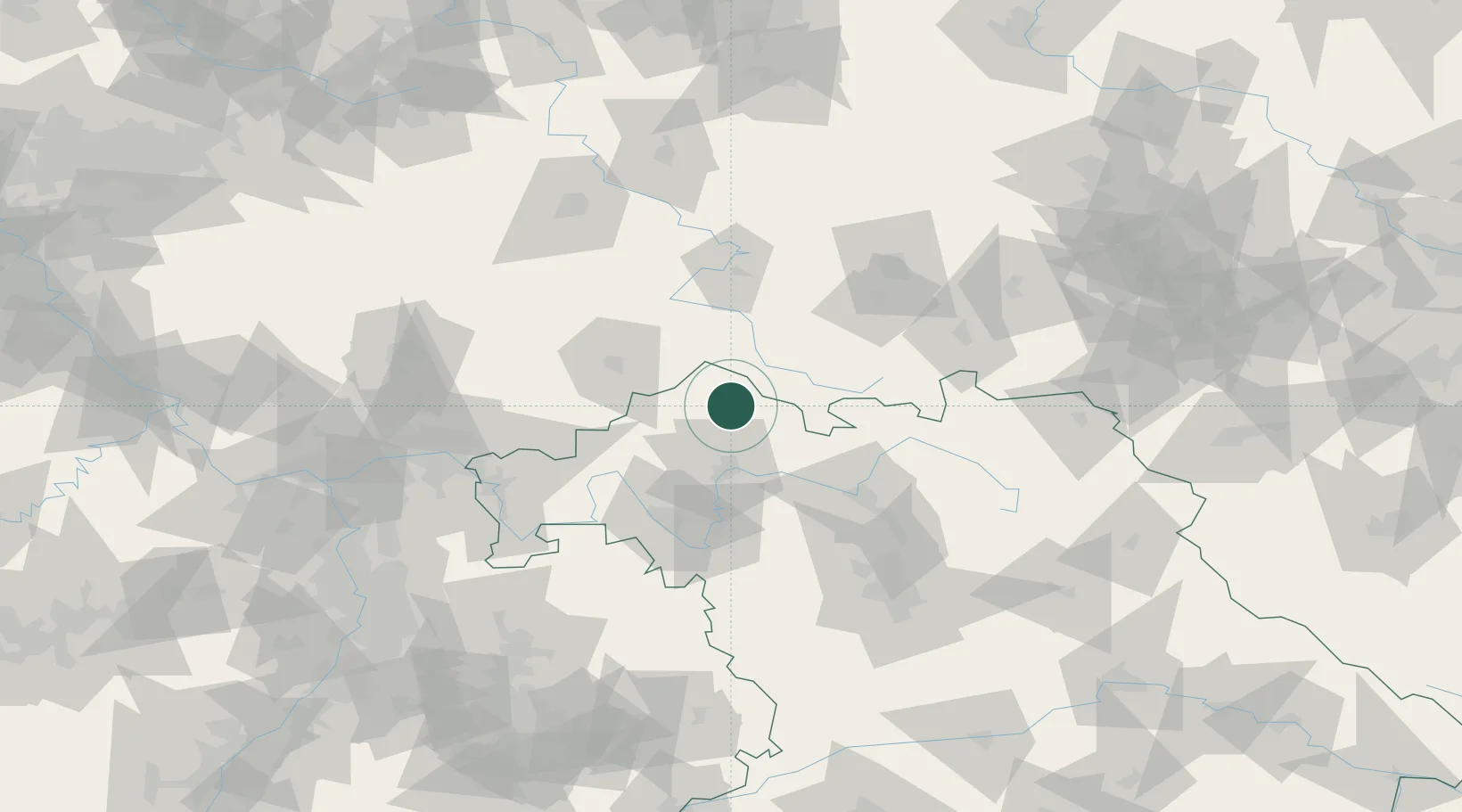
Location
Nearby Logistics Neighbours
Cities
- 1Unsleben4 km
- 2Leutershausen (Rhon-Grabfeld)6 km
- 3Ostheim vor der Rhön13 km
- 4Bischofsheim an der Rhon18 km
- 5Burkardroth20 km
Airports
- 1Bamberg-Breitenau Airfield67 km
- 2Eisenach-Kindel Airport73 km
- 3Erfurt-Weimar Airport86 km
- 4Bayreuth Airport107 km
- 5Niederstetten Army Air Base109 km
Trade Zones
- 1Podbořany Industrial Zone224 km
- 2Žatec - Triangle Strategic Industrial Zone232 km
- 3Most - Joseph Industrial Zone241 km
- 4Freeport of Deggendorf254 km
- 5ZFU Hautepierre269 km
DatabookThe Record of Consolidated Knowledge
Germany beyond logistics?