Transport Functions
Multimodal
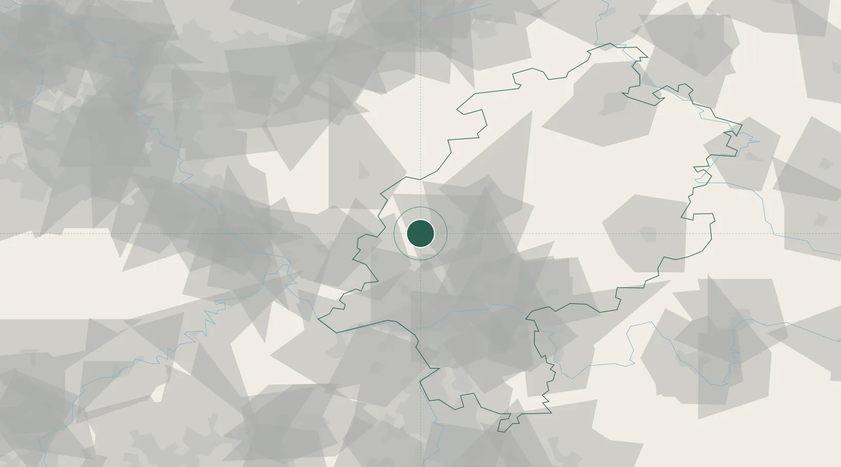
Hub Profile
Place type
Populated place
Region
Hesse
Population
6,116
Time zone
Europe/Berlin
Elevation
159 m
Location
Nearby Logistics Neighbours
Cities
- 1Selters, Taunus7 km
- 2Asslar9 km
- 3Sinn11 km
- 4Fleisbach12 km
- 5Hüttenberg14 km
Airports
- 1Siegerland Airport27 km
- 2Wiesbaden Army Airfield56 km
- 3Frankfurt Main Airport60 km
- 4Mainz-Finthen Airfield67 km
- 5Frankfurt-Egelsbach Airport69 km
Trade Zones
- 1Rheinische Revier SWZ145 km
- 2Freeport of Duisburg160 km
- 3Luxembourg Free Port183 km
- 4ZFU La Cité Behren-lès-Forbach185 km
- 5ZFU Woippy-Metz222 km
DatabookThe Record of Consolidated Knowledge
Germany beyond logistics?