Transport Functions
Multimodal
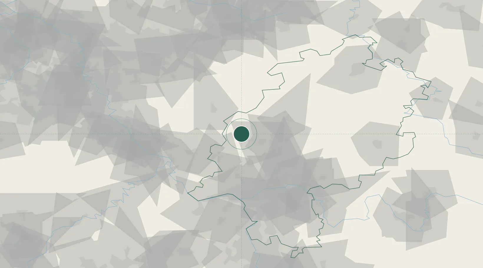
Hub Profile
Place type
Populated place
Region
Hesse
Time zone
Europe/Berlin
Elevation
239 m
Location
Nearby Logistics Neighbours
Cities
- 1Sinn1 km
- 2Bischoffen7 km
- 3Mittenaar7 km
- 4Breitscheid9 km
- 5Leun12 km
Airports
- 1Siegerland Airport18 km
- 2Wiesbaden Army Airfield67 km
- 3Frankfurt Main Airport71 km
- 4Mainz-Finthen Airfield77 km
- 5Frankfurt-Egelsbach Airport80 km
Trade Zones
- 1Rheinische Revier SWZ139 km
- 2Freeport of Duisburg150 km
- 3Luxembourg Free Port187 km
- 4ZFU La Cité Behren-lès-Forbach193 km
- 5ZFU Woippy-Metz228 km
DatabookThe Record of Consolidated Knowledge
Germany beyond logistics?