Transport Functions
Rail
Road
Hub Profile
Region
HE
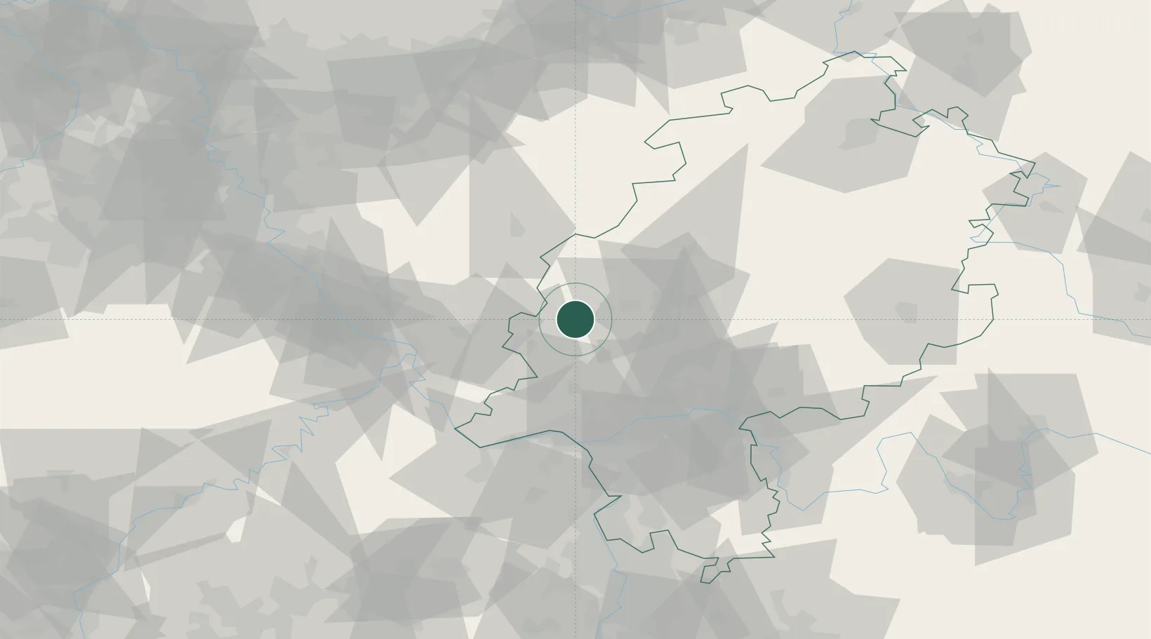
Location
Nearby Logistics Neighbours
Airports
- 1Siegerland Airport26 km
- 2Wiesbaden Army Airfield52 km
- 3Frankfurt Main Airport58 km
- 4Mainz-Finthen Airfield62 km
- 5Frankfurt-Egelsbach Airport67 km
Trade Zones
- 1Rheinische Revier SWZ141 km
- 2Freeport of Duisburg157 km
- 3Luxembourg Free Port177 km
- 4ZFU La Cité Behren-lès-Forbach179 km
- 5ZFU Woippy-Metz216 km
DatabookThe Record of Consolidated Knowledge
Germany beyond logistics?