UN/LOCODE hub · Germany
DEUND
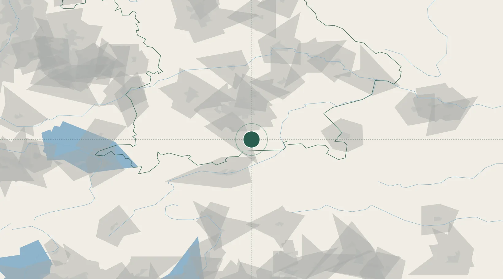
Gmund am Tegernsee
47.7500°, 11.7333°
6,086
Population
3
Transport functions
Transport Functions
Port
Rail
Road
Hub Profile
Place type
Populated place
Region
Bavaria
Population
6,086
Time zone
Europe/Berlin
Elevation
739 m
Location
Nearby Logistics Neighbours
Cities
- 1Warngau9 km
- 2Aurach16 km
- 3Irschenberg17 km
- 4Feldkirchen-Westerham18 km
- 5Otterfing19 km
Ports
- 1Nogaro247 km
- 2Grado258 km
- 3Monfalcone259 km
- 4Porto Di Lido-Venezia265 km
- 5Trieste279 km
Airports
- 1Oberpfaffenhofen Airport50 km
- 2Innsbruck Airport62 km
- 3Munich Airport67 km
- 4Altstetten Ultralight Field70 km
- 5Lechfeld Air Base81 km
Trade Zones
- 1Freeport of Deggendorf150 km
- 2Livigno Free Trade Zone183 km
- 3Free Port of Venice262 km
- 4Consorzio Zona Industriale e Porto Fluviale di Padova263 km
- 5Free Port of Trieste280 km
DatabookThe Record of Consolidated Knowledge
Germany beyond logistics?