Transport Functions
Rail
Road
Hub Profile
Place type
Populated place
Region
Bavaria
Time zone
Europe/Berlin
Elevation
776 m
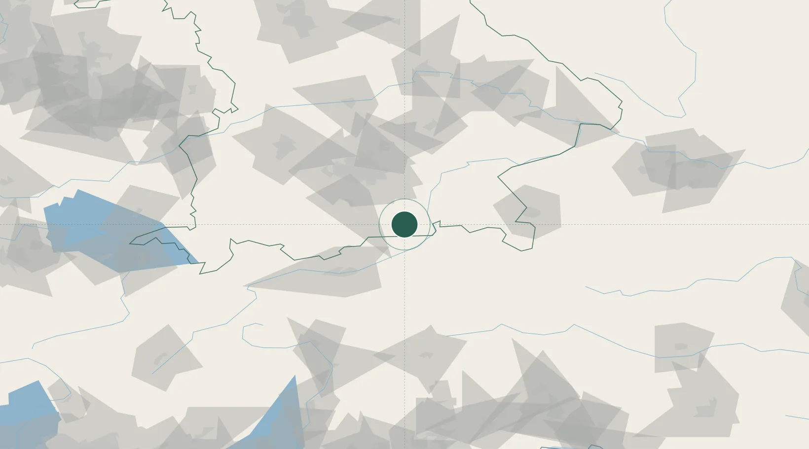
Location
Nearby Logistics Neighbours
Cities
- 1Brannenburg13 km
- 2Irschenberg15 km
- 3Gmund am Tegernsee16 km
- 4Erl18 km
- 5Heufeld19 km
Ports
- 1Nogaro235 km
- 2Grado246 km
- 3Monfalcone246 km
- 4Porto Di Lido-Venezia257 km
- 5Trieste267 km
Airports
- 1Oberpfaffenhofen Airport64 km
- 2Innsbruck Airport66 km
- 3Munich Airport74 km
- 4Salzburg Airport81 km
- 5Altstetten Ultralight Field83 km
Trade Zones
- 1Freeport of Deggendorf146 km
- 2Livigno Free Trade Zone190 km
- 3Free Port of Venice254 km
- 4Consorzio Zona Industriale e Porto Fluviale di Padova257 km
- 5Free Port of Trieste267 km
DatabookThe Record of Consolidated Knowledge
Germany beyond logistics?